歎為觀止:從google earth看美國佛羅裏達州西南部住宅開發景觀(組圖)

來源: 不很明了 2010-09-30 21:08:19 [] [博客] [舊帖] [給我悄悄話] 本文已被閱讀: 次 (27870 bytes)


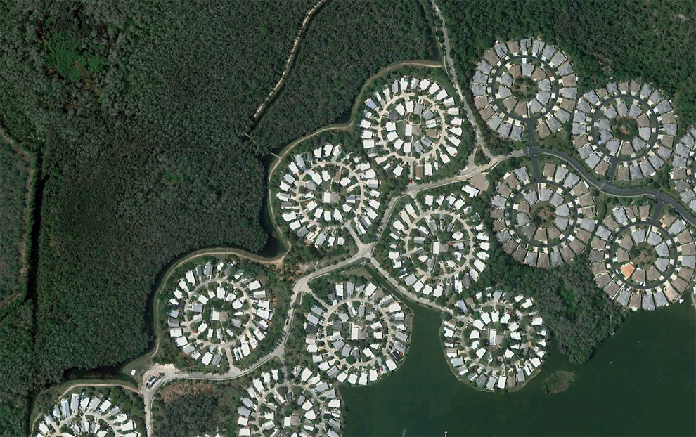
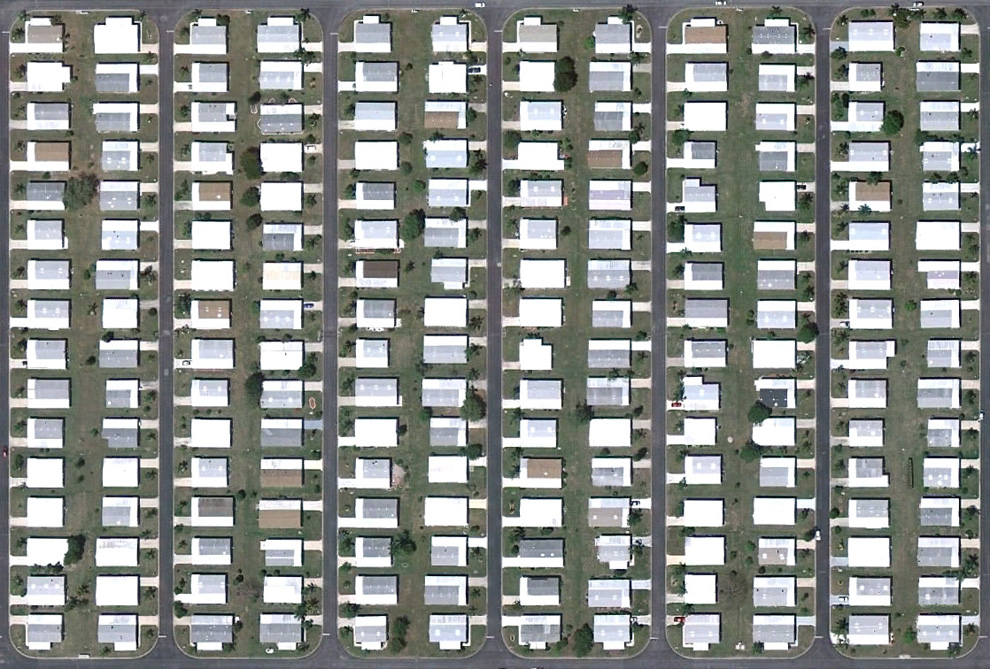
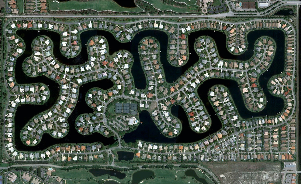
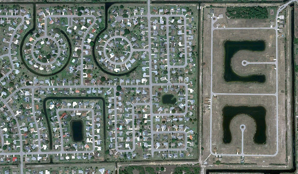
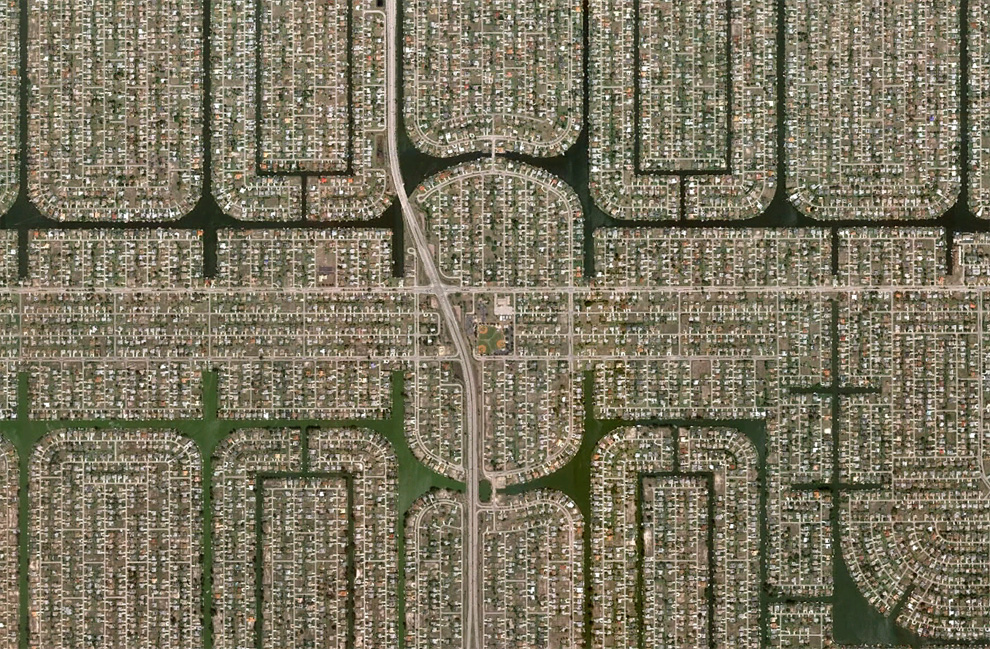
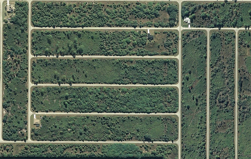
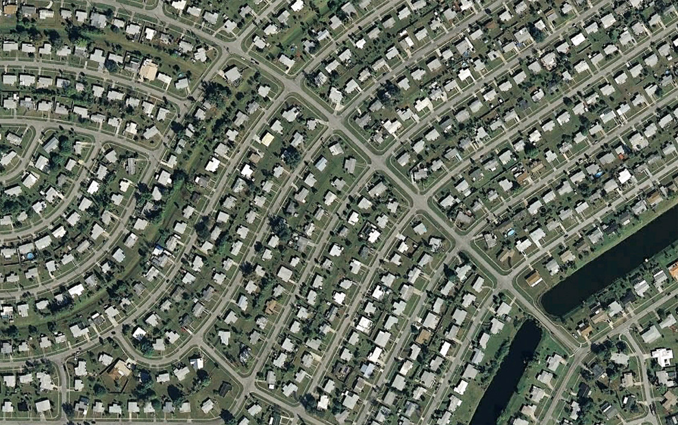
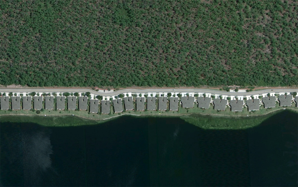
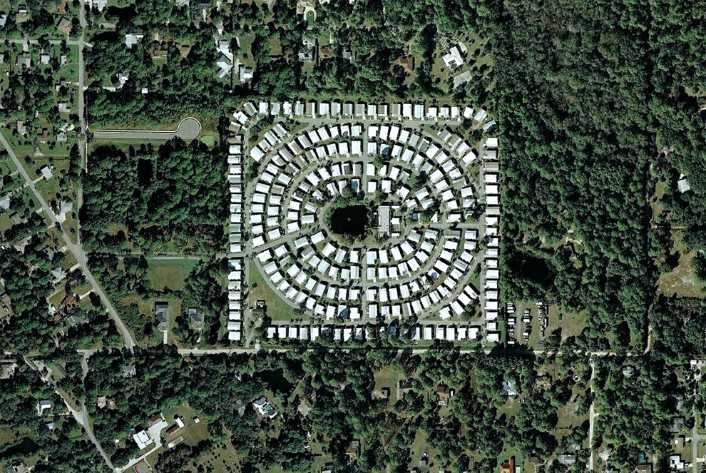
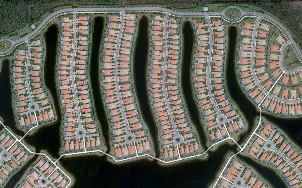
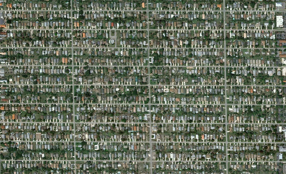
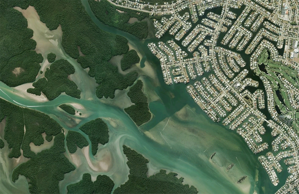
http://www.boston.com/bigpicture/2010/09/human_landscapes_in_sw_florida.html


1
A section of a partially built residential project with only two houses in place, near Fort Myers, Florida. Map. (© Google)

A strip of houses in a neighborhood southeast of Fort Myers, Florida. Map, Street View. (© Google) #

Circular layouts of homes near I-75, southwest of Fort Myers, Florida. Map. (© Google) #

Once proposed as the 57,000 acre "Golden Gate Estates", this area was to be the largest subdivision in America in the 1960s. Many canals and roads were built, but the development eventually went bankrupt. Over the past 20 years or so, the land has been acquired by the state, and converted into the Picayune Strand State Forest. Map, Street View. (© Google/USGS) #

Boats make their way through canal structures in a neighborhood north of Cape Coral, Florida. Map, Street View. (© Google) #

The Rotonda West neighborhood, originally developed in the 1960s, never quite fully completed, located in Charlotte County, Florida. Map, Street View. (© Google/Data SIO, NOAA, U.S. Navy, NGA, GEBCO) #

A densely built gated community in Bonita Springs, Florida. Map, Street View. (© Google) #

A community built around a man-made lake southeast of Bonita Springs, Florida. Map. (© Google) #

Empty cul-de-sacs fill an area south of Rotonda West in Charlotte County, Florida. Map, Street View. (© Google) #

A developed neighborhood and one under construction in Lehigh Acres, Florida. Map. (© Google) #

A densely populated neighborhood of Cape Coral, Florida. Map, Street View. (© Google) #

A development built near North Fort Myers Florida on the Caloosahatchee River. Map, Street View. (© Google/Europa Technologies) #

A partly developed, now partly overgrown neighborhood north of Lehigh Acres, Florida. Map, Street View. (© Google) #

The Dade-Collier Training and Transition Airport was originally planned as the Everglades Jetport, and construction started in 1968 on what was to be the world's largest airport with six runways to support supersonic transport. Being surrounded by the Big Cypress National Preserve, environmental concerns halted construction, and when commercial supersonic transport didn't arrive, the project was left as-is, now a lightly-used airport. Map, Street View. (© Google/USGS/DigitalGlobe) #

A grid of undeveloped avenues west of Port Charlotte, Florida. Map, Street View. (© Google) #

A neighborhood in Port Charlotte, Florida. Map. (© Google) #

A partially-developed community near Charlotte harbor, north of Fort Myers, Florida. Map, Street View. (© Google) #

Homes line a man-made lake shore near Naples, Florida. Map. (© Google) #

Canals and homes in Charlotte Park, south of Port Charlotte, Florida. Map, Street View. (© Google/Europa Technologies) #

A tightly developed parcel of land north of Englewood, Florida. Map, Street View. (© Google) #

Part of Verona Walk, a gated community in Naples, Florida. Map. (© Google) #

Homes laid out closely in circular arrangements north of North Fort Myers, Florida. Map. (© Google) #

A series of residential developments in varying states of completion along a highway south of Naples, Florida. Map. (© Google/USGS) #

Naples Park, a densely developed community north of Naples, Florida. Map. (© Google) #

Canals and homes near Big Marco River on Marco Island, Florida. Map, Street View. (© Google/USGS) #

Construction equipment sits parked among empty cul-de-sacs and a man-made lake in a development southeast of Fort Myers, Florida. Map. (© Google) #

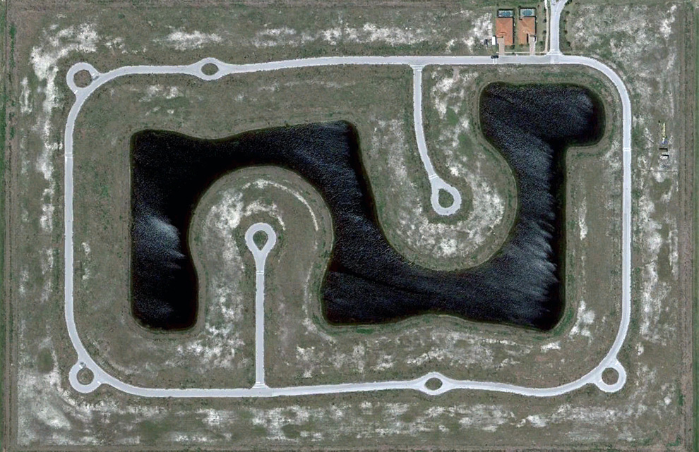
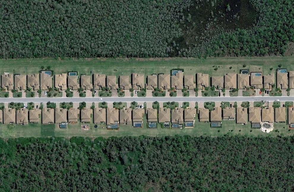
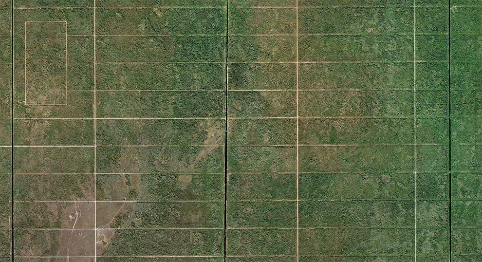
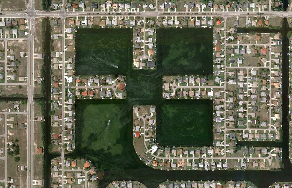
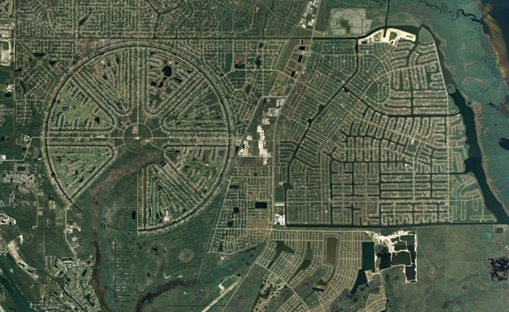
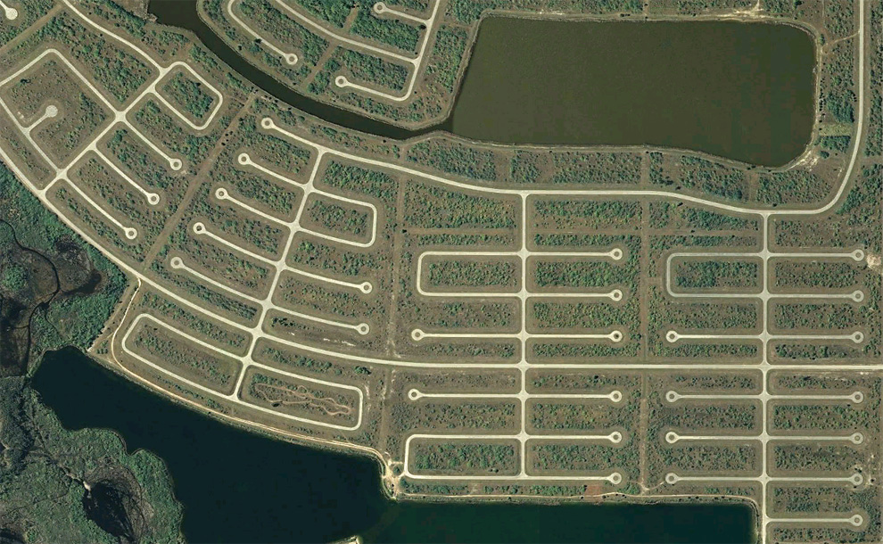
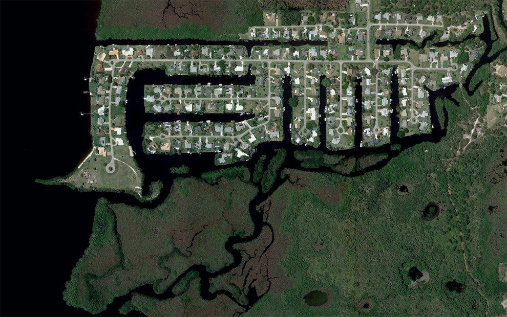
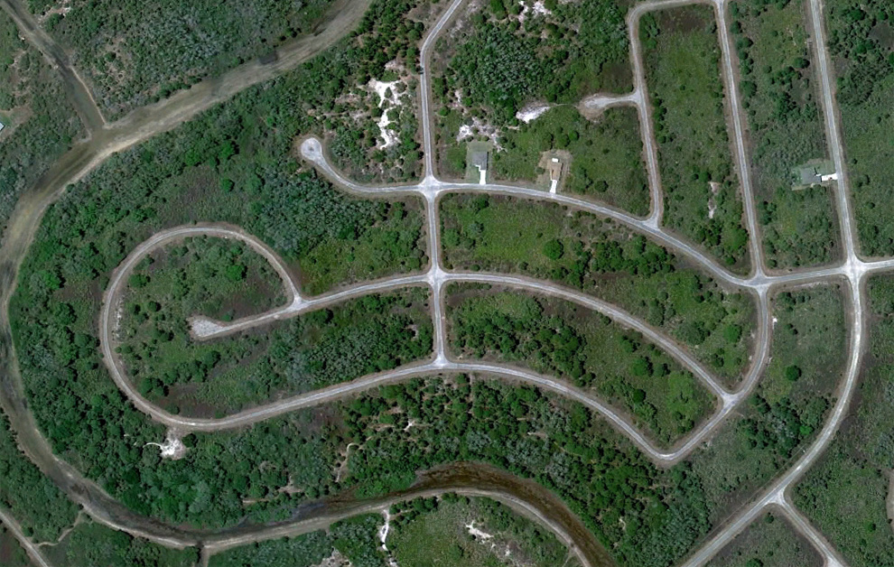
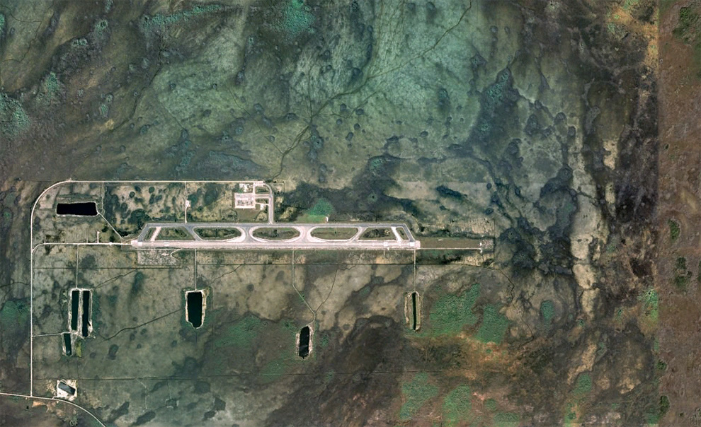
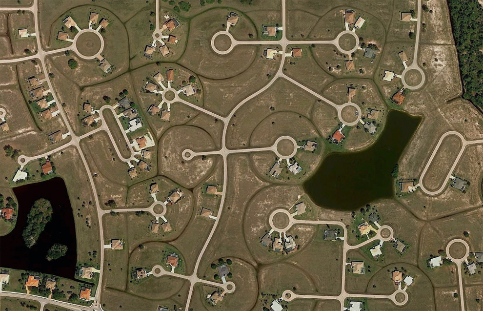
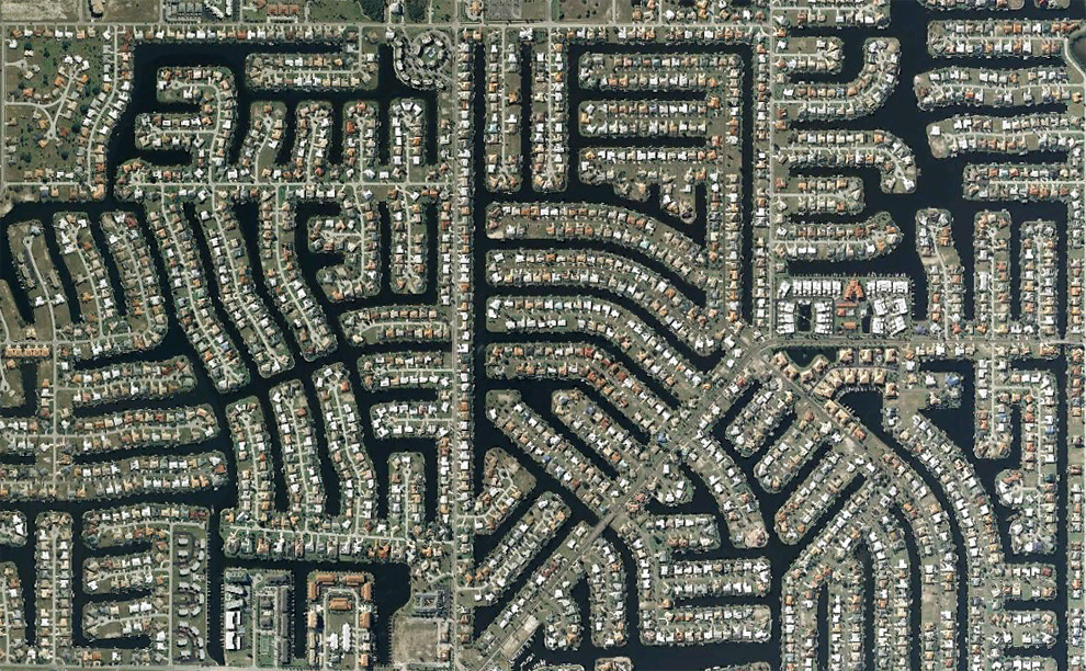
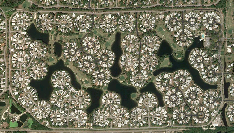
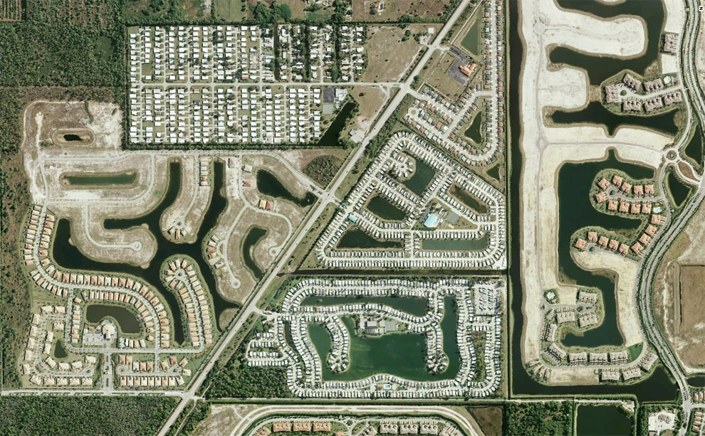
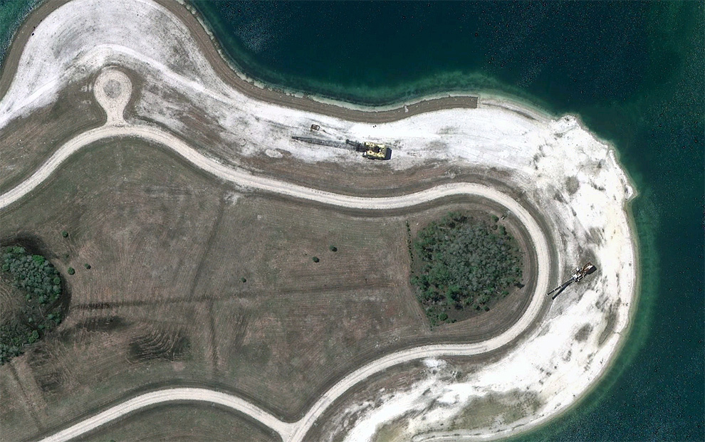
Human landscapes in SW Florida

A couple weeks ago, I was listening to a story by NPR's Planet Money team about "Toxie" a toxic asset they had purchased to follow and help tell the story of the recent financial meltdown. One of the mortgages in Toxie was on a home bought for investment in Bradenton, Florida, and the team took a look at housing in the area. Many homes there are empty and have been for years. Huge developments sit partially completed among densely built up neighborhoods and swampland. A guest stated that there were "enough housing lots in Charlotte County to last for more than 100 years". Boom and bust residential development has drastically affected parts of southwest Florida for decades now, and I spent some time (with the help of Google Earth), looking around the area. With permission from the fine folks at Google, here are a few glimpses at development in southwest Florida. (26 photos total)


請閱讀更多我的博客文章>>>

  • 搞笑圖片選五
  • 這樣的老公嫁得(組圖)
  • 智齒拔完後,他瘋了,哈哈哈(視頻)
  • 笑噴了:圖解世界真奇妙(純潔人士請進,眼歪腦歪者止步)
  • 可愛的淘氣包們
  • 所有跟帖: 

    有點怪怪的感覺啊~ -笑比哭好- 給 笑比哭好 發送悄悄話 笑比哭好 的博客首頁 (0 bytes) () 10/01/2010 postreply 06:10:02

    衛星圖都這樣? -七彩奶油- 給 七彩奶油 發送悄悄話 (0 bytes) () 10/01/2010 postreply 06:17:17

    嗬嗬,有趣 -500miles- 給 500miles 發送悄悄話 500miles 的博客首頁 (0 bytes) () 10/01/2010 postreply 09:41:51

    有些像chips -40- 給 40 發送悄悄話 (0 bytes) () 10/01/2010 postreply 09:44:28

    有人說人類是地球的癌症,看起來有點像哈 -衝浪潛水員- 給 衝浪潛水員 發送悄悄話 衝浪潛水員 的博客首頁 (0 bytes) () 10/02/2010 postreply 10:14:02

    很像印刷電路板 -BornIn1974- 給 BornIn1974 發送悄悄話 (60 bytes) () 10/02/2010 postreply 11:47:30

    請您先登陸,再發跟帖!

    發現Adblock插件

    如要繼續瀏覽
    請支持本站 請務必在本站關閉/移除任何Adblock

    關閉Adblock後 請點擊

    請參考如何關閉Adblock/Adblock plus

    安裝Adblock plus用戶請點擊瀏覽器圖標
    選擇“Disable on www.wenxuecity.com”

    安裝Adblock用戶請點擊圖標
    選擇“don't run on pages on this domain”