2011年4月加拿大西部山脈公園之旅-5 (Athabasca River)

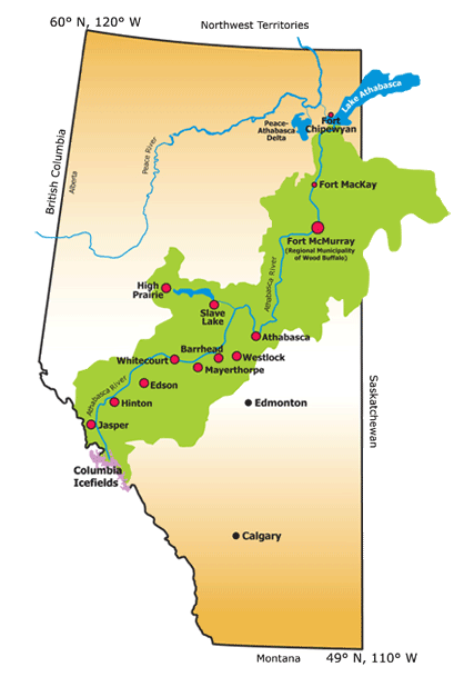
At 1,538 km in length, the Athabasca River is Alberta’s longest undammed river and its second largest by volume. The river, extending from the Columbia Icefield near Jasper to Lake Athabasca, drains the 159,000 km2 Athabasca River Basin before eventually flowing into the Arctic Ocean via the Mackenzie River.

全長1538公裏,Athabasca河是阿爾伯塔省最長的河流,流量位居第二。源自靠近JASPER的哥倫比亞冰原,流入Athabasca湖。流域覆蓋了159000平方公裏。最終經由Mackenzie River流入北冰洋。
2011年4月加拿大西部山脈公園之旅-5 <wbr>(Athabasca <wbr>River)

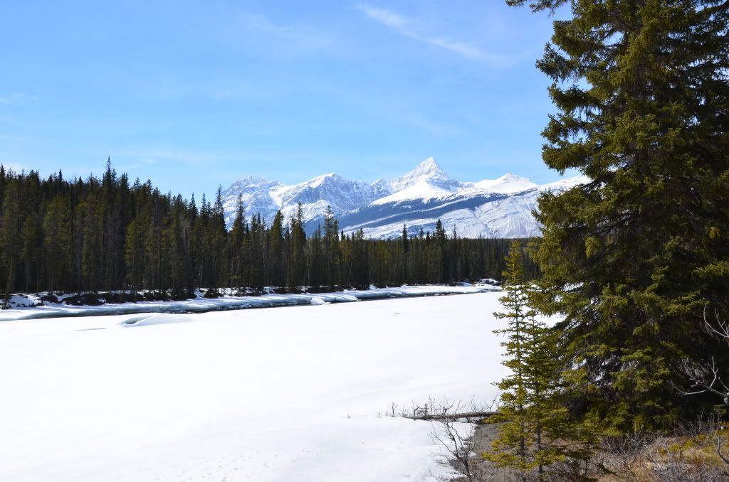
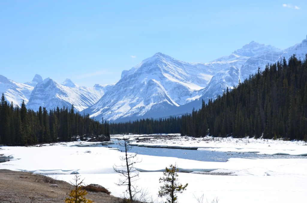
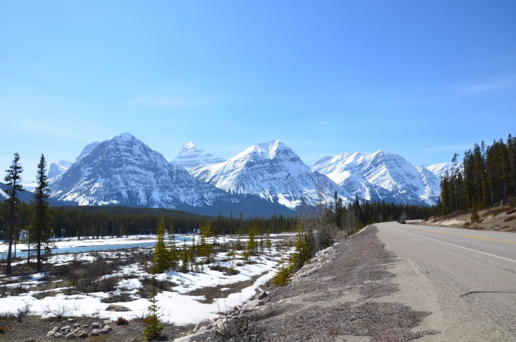
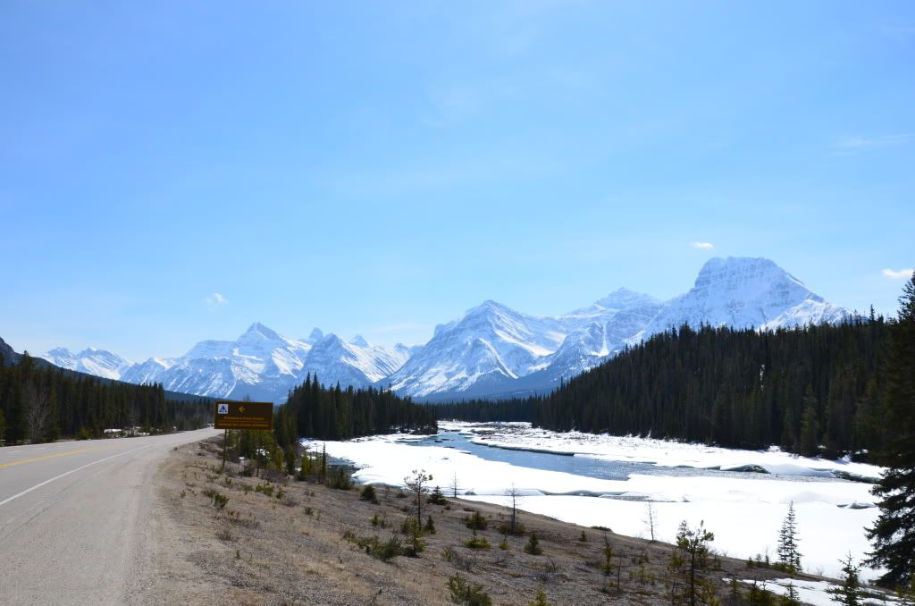
我們在從Athabasca瀑布到Sunwapata瀑布的路上欣賞到了很多Athabasca河流和山脈的景色。


公路大多的時間就是沿著這條河流。
2011年4月加拿大西部山脈公園之旅-5 <wbr>(Athabasca <wbr>River)

很多的河麵還是被冰雪覆蓋

2011年4月加拿大西部山脈公園之旅-5 <wbr>(Athabasca <wbr>River)


而海麵就是這樣一點一點的融化的

2011年4月加拿大西部山脈公園之旅-5 <wbr>(Athabasca <wbr>River)


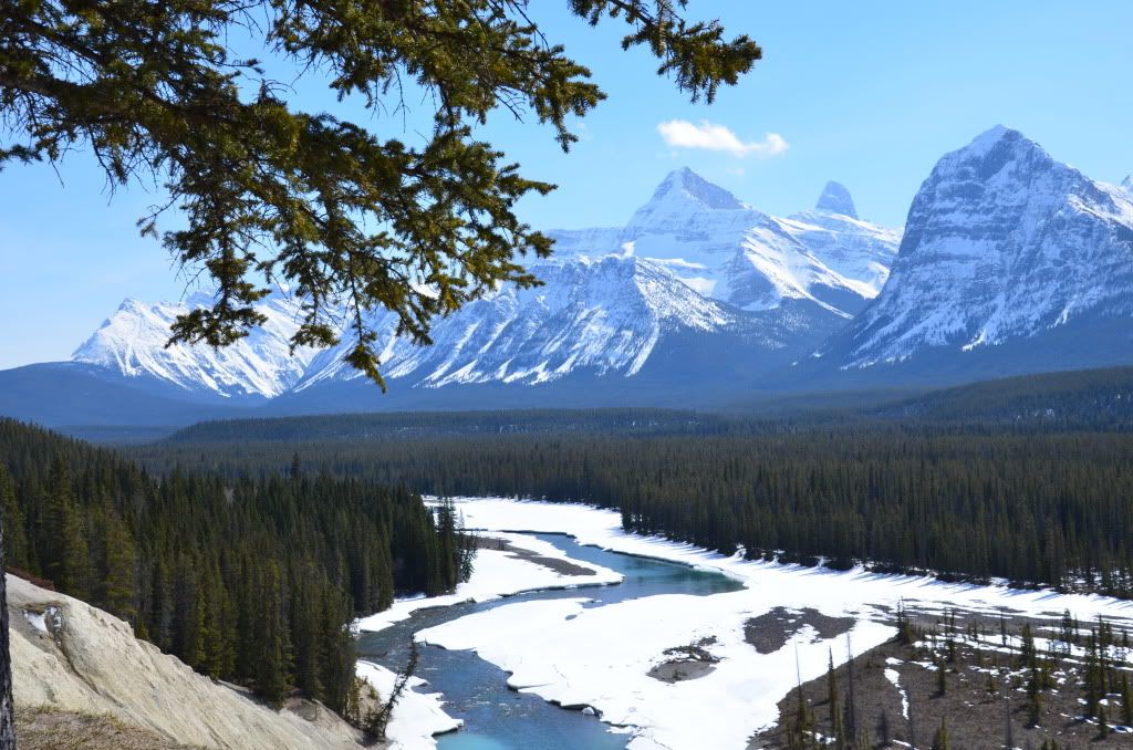
蜿蜒流長的Athabasca River

2011年4月加拿大西部山脈公園之旅-5 <wbr>(Athabasca <wbr>River)


女兒造型金孔雀

2011年4月加拿大西部山脈公園之旅-5 <wbr>(Athabasca <wbr>River)


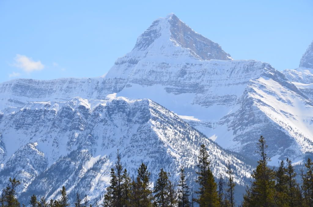
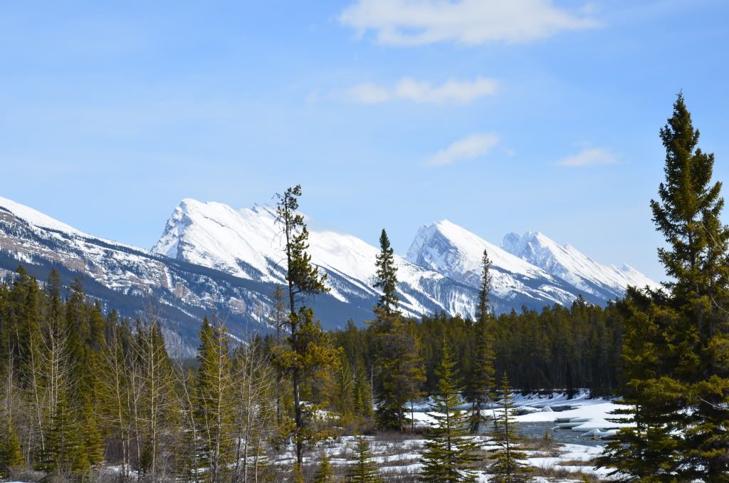
這個山白雪的覆蓋率很高。

2011年4月加拿大西部山脈公園之旅-5 <wbr>(Athabasca <wbr>River)


路邊可以經常看到這些我們不知什麽名字的山脈。

2011年4月加拿大西部山脈公園之旅-5 <wbr>(Athabasca <wbr>River)

2011年4月加拿大西部山脈公園之旅-5 <wbr>(Athabasca <wbr>River)


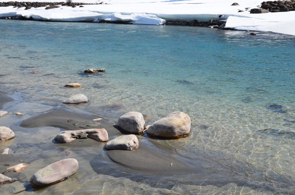
陽光照射在融化的水麵上,波光粼粼,晶瑩剔透。

2011年4月加拿大西部山脈公園之旅-5 <wbr>(Athabasca <wbr>River)


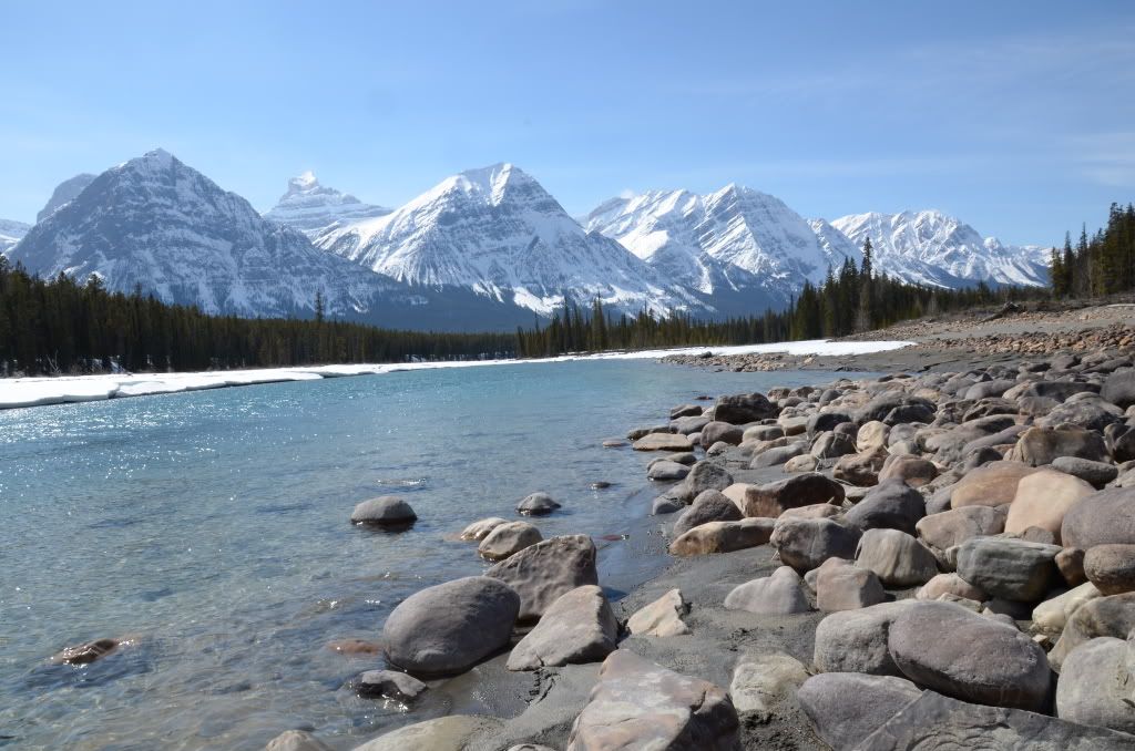
我們一家在這些河邊的礁石上玩耍了很長的時間。

2011年4月加拿大西部山脈公園之旅-5 <wbr>(Athabasca <wbr>River)


請閱讀更多我的博客文章>>>
  • 2011年4月加拿大西部山脈公園之旅-4 (Athabasca falls)
  • 2011年4月加拿大西部山脈公園之旅-3 (Wells Gray National Park)
  • 2011年4月加拿大西部山脈公園之旅-2 (Kamloops & Clearwater)
  • 2011年4月加拿大西部山脈公園之旅-1 (The Trip Map)
  • In the Rain
  • 所有跟帖: 

    cool -enjoywater- 給 enjoywater 發送悄悄話 enjoywater 的博客首頁 (0 bytes) () 05/31/2011 postreply 10:19:03

    waiting for more -ghost_in_shell- 給 ghost_in_shell 發送悄悄話 ghost_in_shell 的博客首頁 (0 bytes) () 05/31/2011 postreply 10:50:49

    請您先登陸,再發跟帖!