R2.5--大峽穀穿越 俺師父要在5月的第二個周末去穿越大峽穀,計劃早在去年便擬定下來。因此今年的集結令發下來的時候,義無反顧地應召。
【維基百科資料】
大峽穀(英語:Grand Canyon,霍皮語: Ongtupqa,亞瓦派語:Wi:kaʼi:la)位於美國亞利桑那州西北部,是科羅拉多河經過數百萬年以上的衝蝕而形成,色彩斑斕,峭壁險峻。1979年大峽穀被列入世界遺產。在許多非權威版本的世界八大自然奇觀列表上都有大峽穀的名字。目前由美國大峽穀國家公園管理。大峽穀總長446公裏,平均深度有1200米,寬度從0.5公裏至29公裏不等。科羅拉多高原抬升時,科羅拉多河及其支流切割層層沉積岩,由此形成了大峽穀。將近20億年來的地質變遷史一覽無餘。1540年,一個名叫加西亞·洛佩茲·德·卡迪納斯(García López de Cárdenas)的西班牙人最先發現了大峽穀。19世紀70年代,美國陸軍少校約翰·威斯利·鮑威爾率領第一支科學考察隊前往大峽穀。鮑威爾將穀中的沉積岩層形容為“一本巨型小說中的書頁”。然而,此前已有美洲印第安人在峽穀壁上定居了。
從科羅拉多河麵看大峽穀
大峽穀最深處約1900米。從李氏渡口(Lee's Ferry)至漢斯險灘(Hance Rapid),峽穀平緩傾斜,岩層顯露無遺。從穀底至頂部沿壁露出從前寒武紀到新生代各期的係列岩係,水平層次清晰,岩層色調各異,並含有各地質時期代表性的生物化石。峽穀終止於格蘭德瓦什崖(Grand Wash Fault)。在由板塊活動引起的造山運動以及地殼隆起的共同作用下,沉積岩被抬高上千英尺,從而形成了科羅拉多高原。海拔的升高也導致了科羅拉多河流域降雨量的增加,但並未足以改變大峽穀地區半幹旱的氣候。隨後的山體滑坡及其它塊體移動又造成了向源侵蝕與河流襲奪,種種的這些都傾向於加深、擴展幹旱環境中的峽穀。地殼隆起並不均勻,這就導致大峽穀的北岸比南岸高出三百多米,並且科羅拉多河與南岸更靠近些。北岸高地降水量相對較高,其幾乎所有徑流都流向大峽穀中;而南岸高地的徑流則順著地勢向著背離峽穀的方向流去。這就加劇了峽穀的侵蝕,使科羅拉多河北岸的峽穀及其分支更快地拓寬。
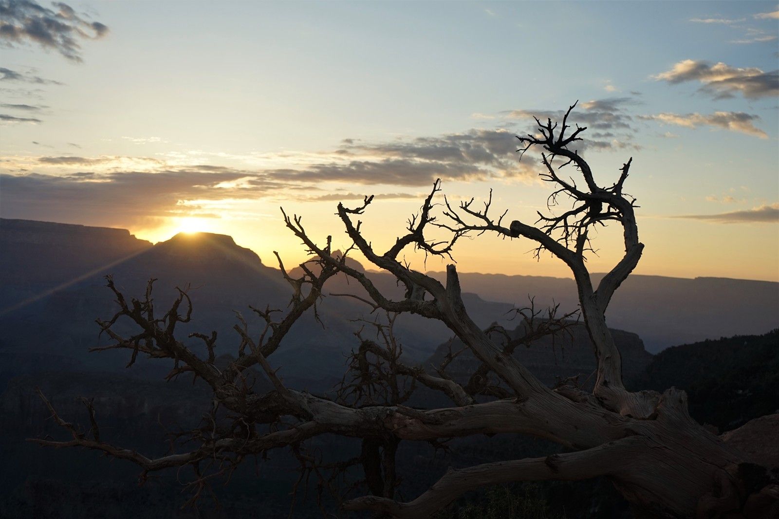
大峽穀的日出
由於海拔差異,峽穀北岸的氣溫相對低於南岸。冬季,該地區常有大量降雪。從北岸觀望,峽穀的擴張較為明顯。大峽穀的邊緣是一片森林,越往峽穀中走溫度就越高,到峽穀底端則近似荒漠地帶,因此大峽穀中包含了從森林到荒漠的一係列生態環境。國家公園內的植物多達1500種以上、並有355種雀鳥、89種哺乳類動物、47種爬蟲動物、9種兩棲類動物、17種魚類生活其中。第26任美國總統西奧多·羅斯福也是大峽穀的眾多熱愛者之一,他多次在此獵捕美洲獅或是欣賞風景。
(以上摘自維基百科)
人在旅途

周五晚上,在聖何塞機場租車,一個7人座的大型SUV。嶄新的車,mileage隻有區區6英裏,俺們是此車第一個租車客!3天的租金是$400出頭,鳥叔使用了果果公司的福利。
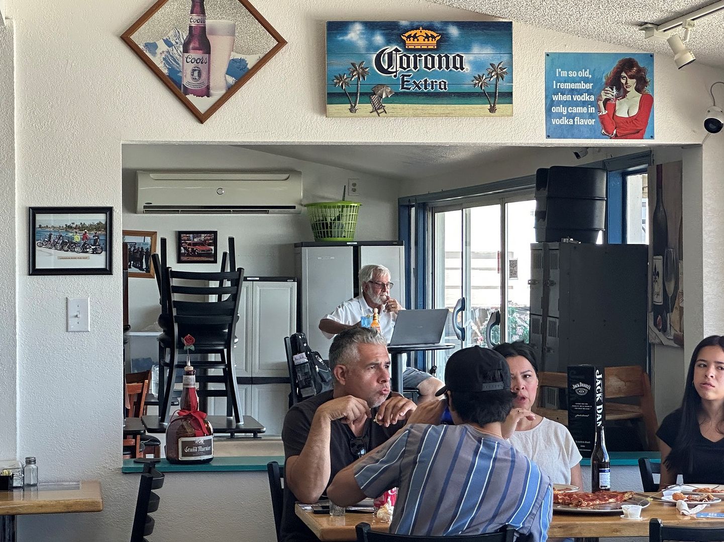
中午,在三州(加利福尼亞/內華達/亞利桑那)地理匯合點的針尖鎮(Needles)打尖吃飯。
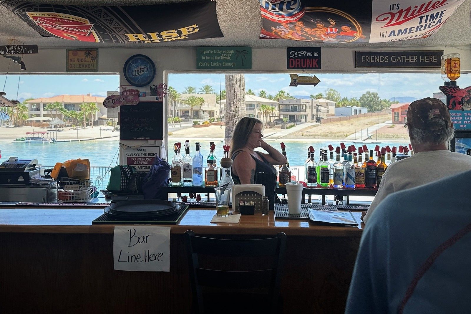
徐娘半老的老板娘。
曾幾何時的老板娘。
無論男女,老美隻要年過半百,外貌便垮得一塌糊塗。

對岸亞利桑那州的房子,隻賣20萬美金!趕緊的麻溜地,加州人搬去亞利桑那!
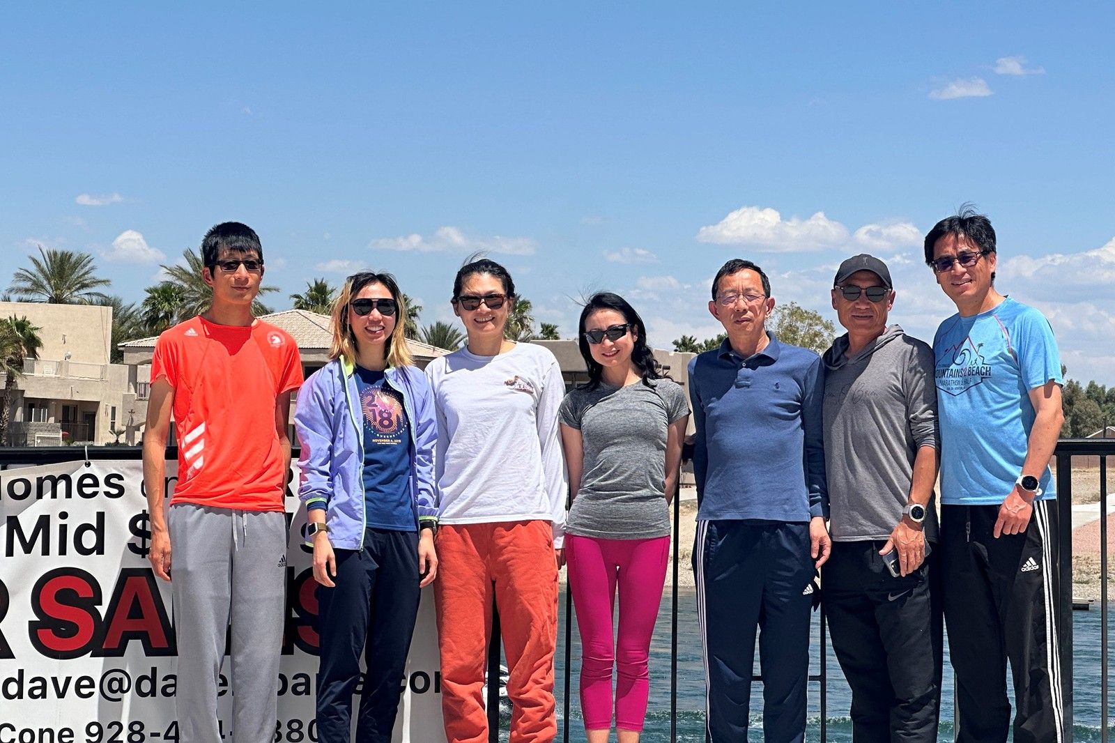
於是,一夥打算退休後來亞利桑那定居的吃瓜群眾,趕緊立此存照 ^_^(攝影:路人甲)
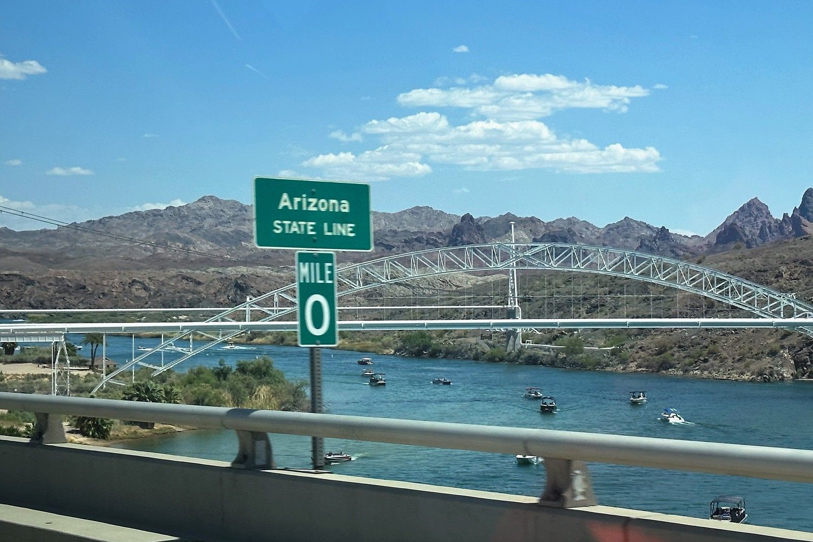
飯後,俺們驅車跨過了州河--科羅拉多河。
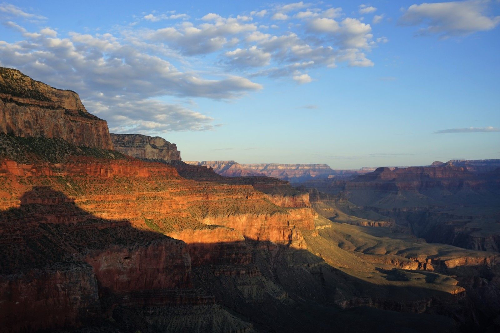
晚霞中的大峽穀
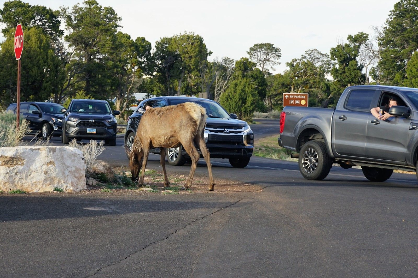
路旁的麋鹿。
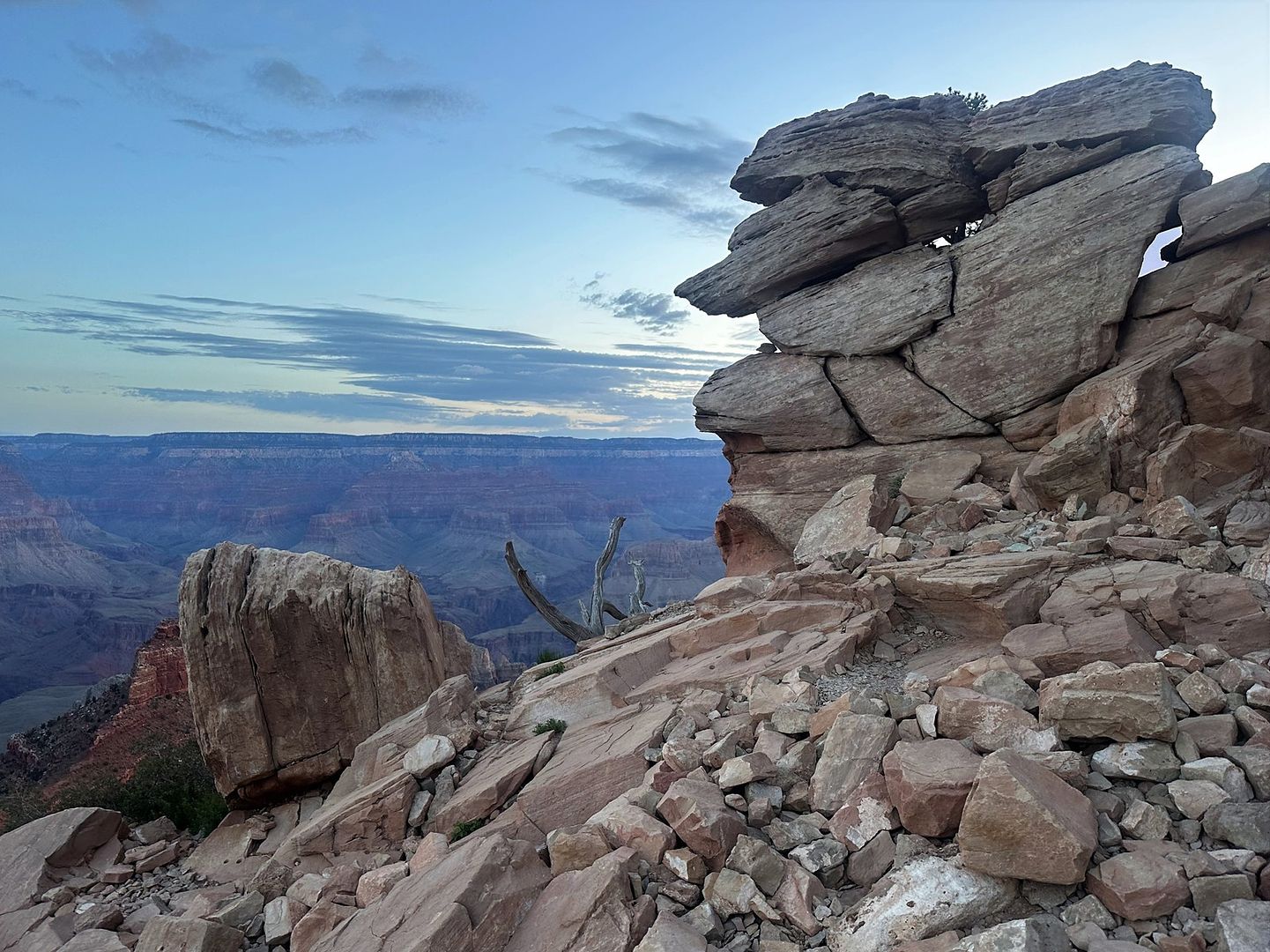
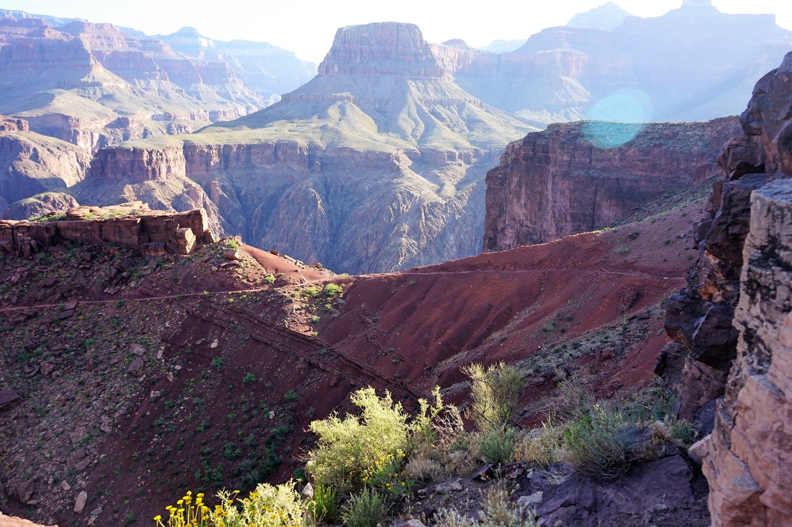
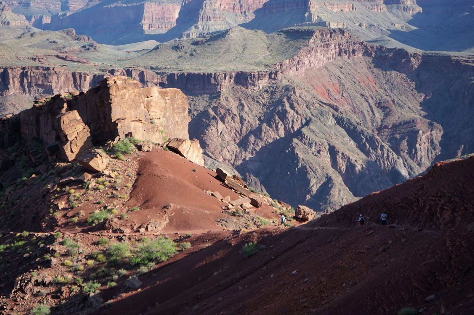
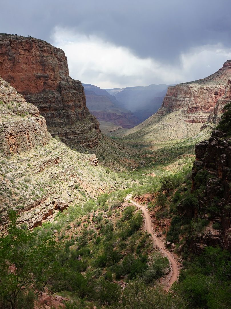
刀鑿斧劈大峽穀。
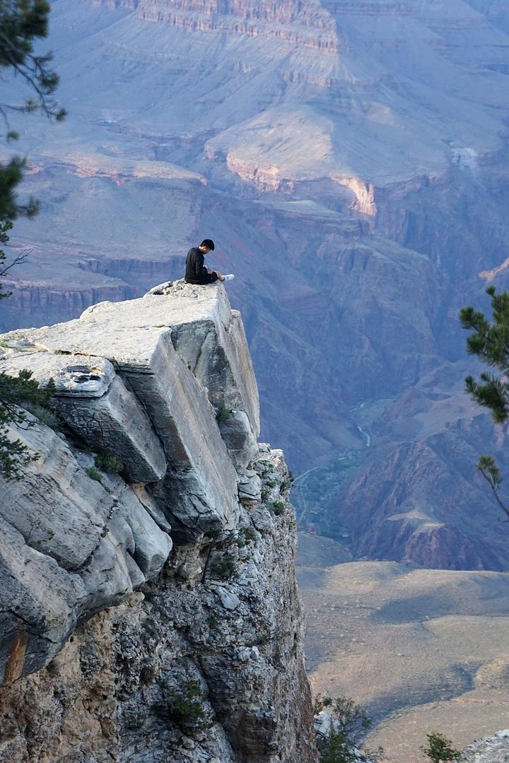
萬仞峭壁上的讀書人。
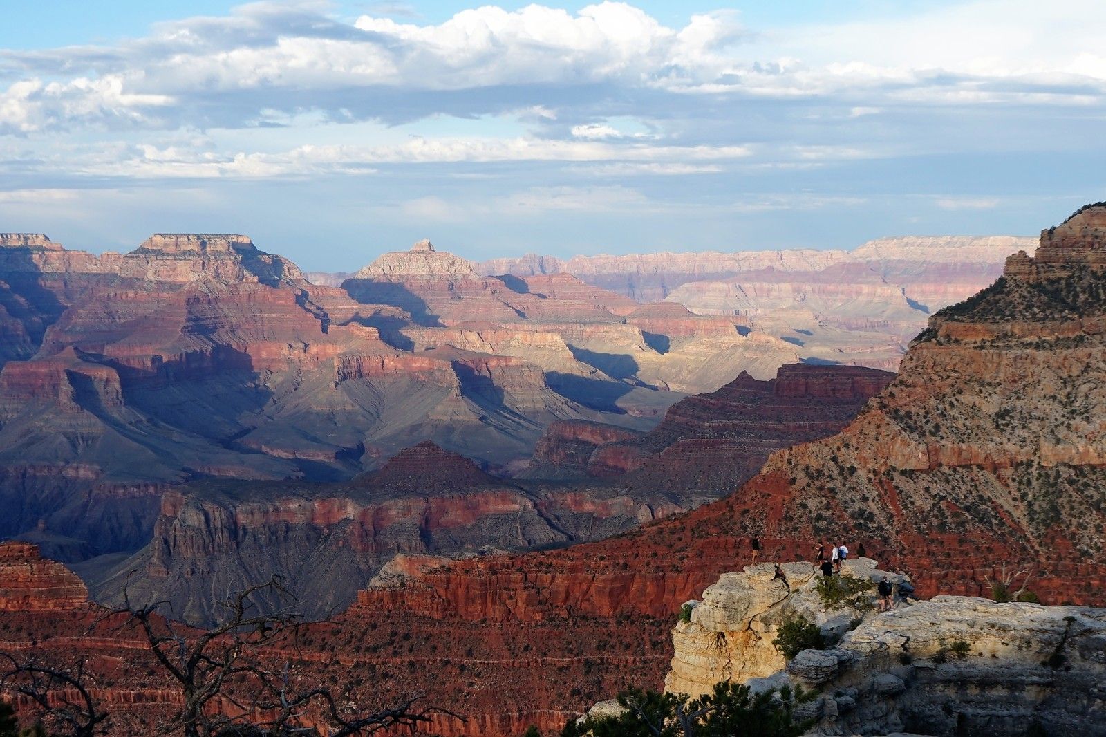
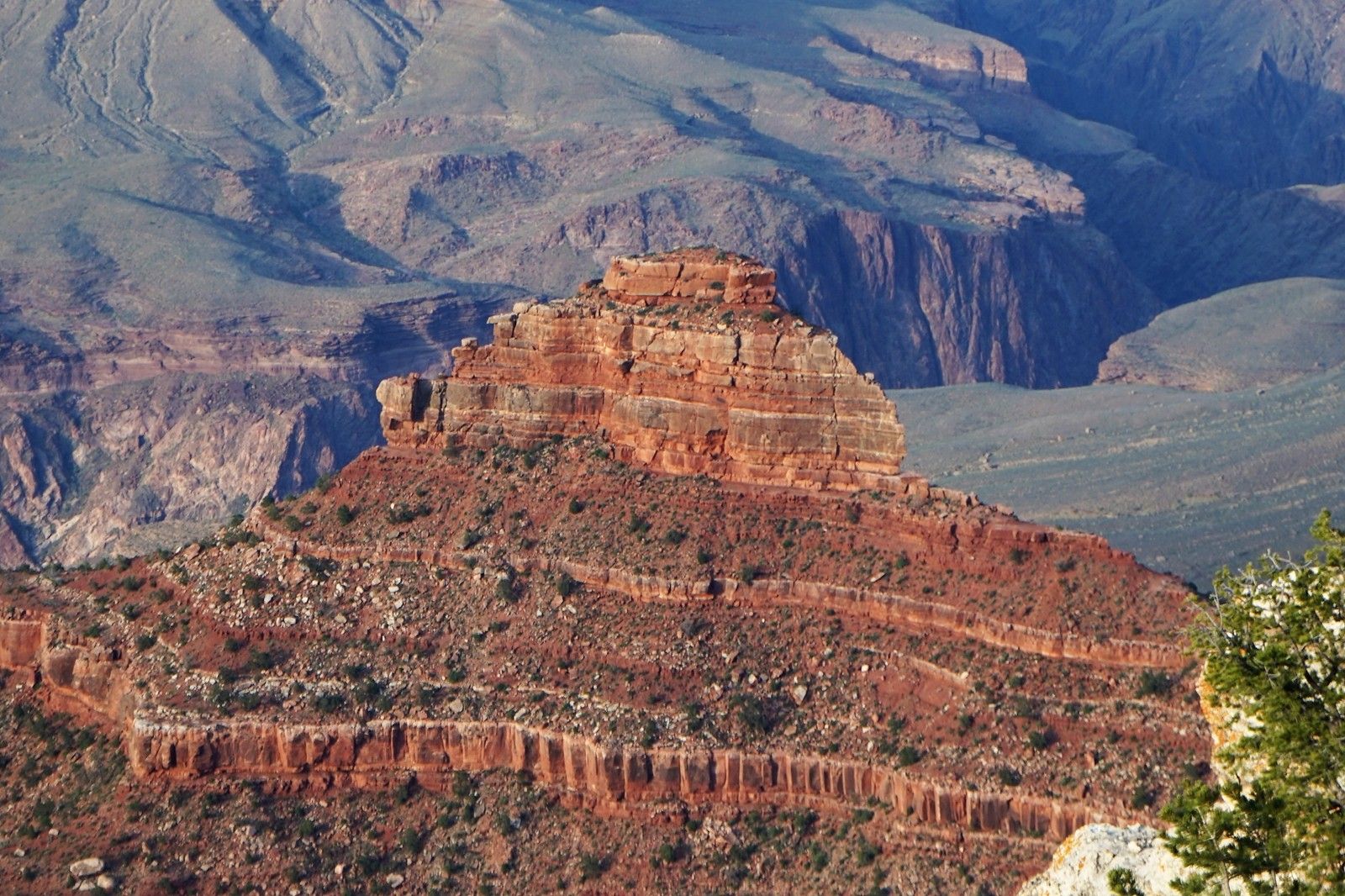
巨幅山嶽,畫麵般地展開。
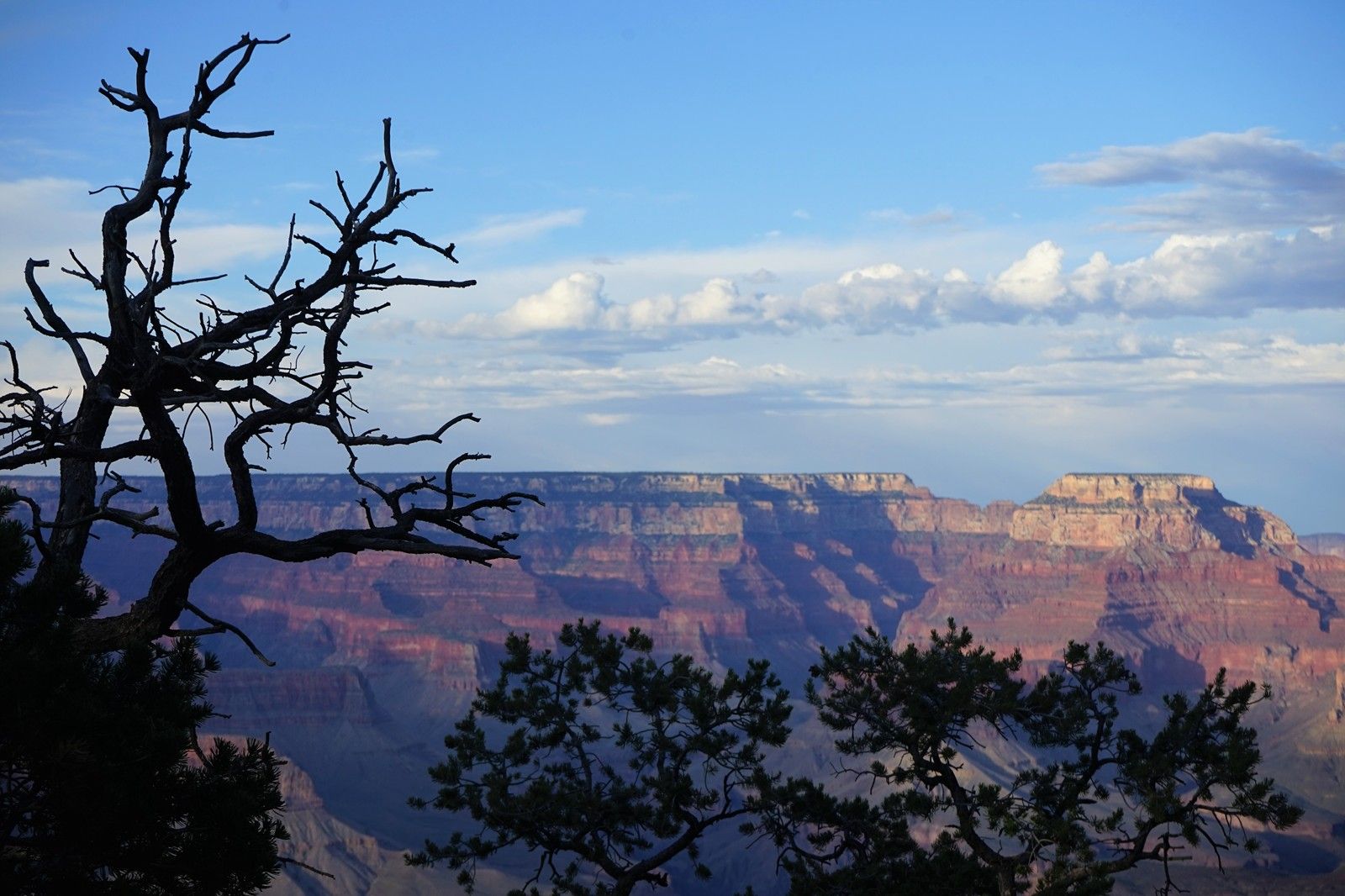
暮靄中的大峽穀。 悠閑的下山之旅
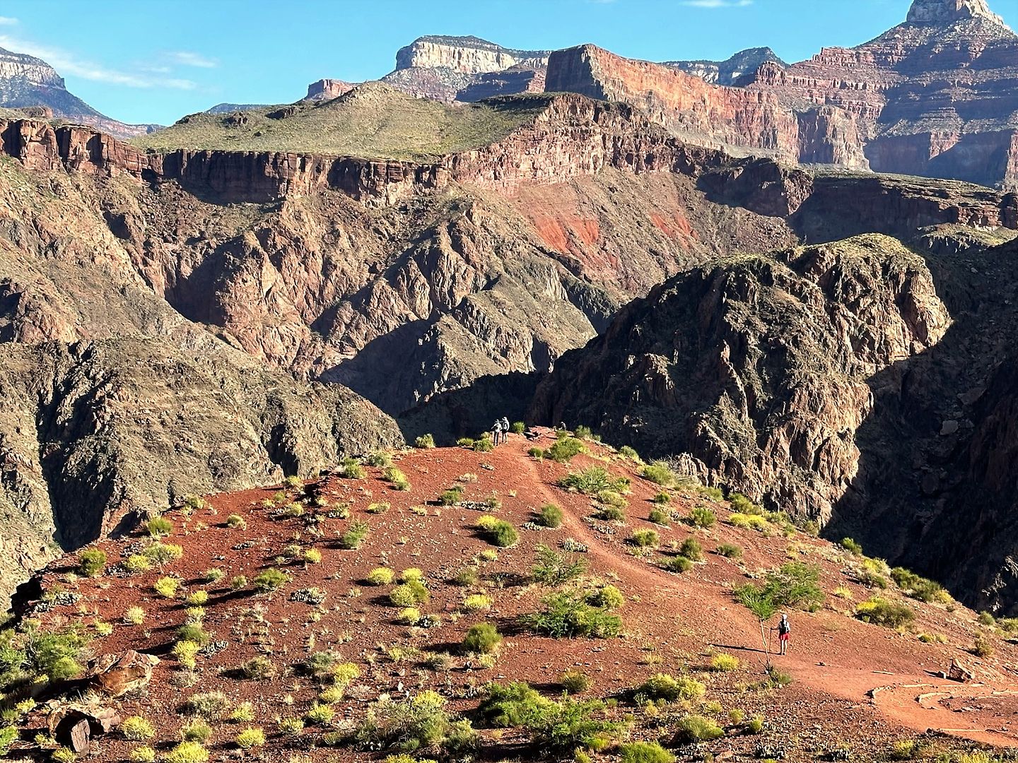
周日500AM,一行人自south kaibab步道起點出發。
如花/班長/鳥叔三人徑自去跑R2.5,俺尾隨妹子們跑R2。不過,在旅程快要結束的時候,一位資深女園警告訴俺們,你們跑的是R3--Rim To River To Rim。。。好吧,此番美女軍團跑的是R3 ^_^
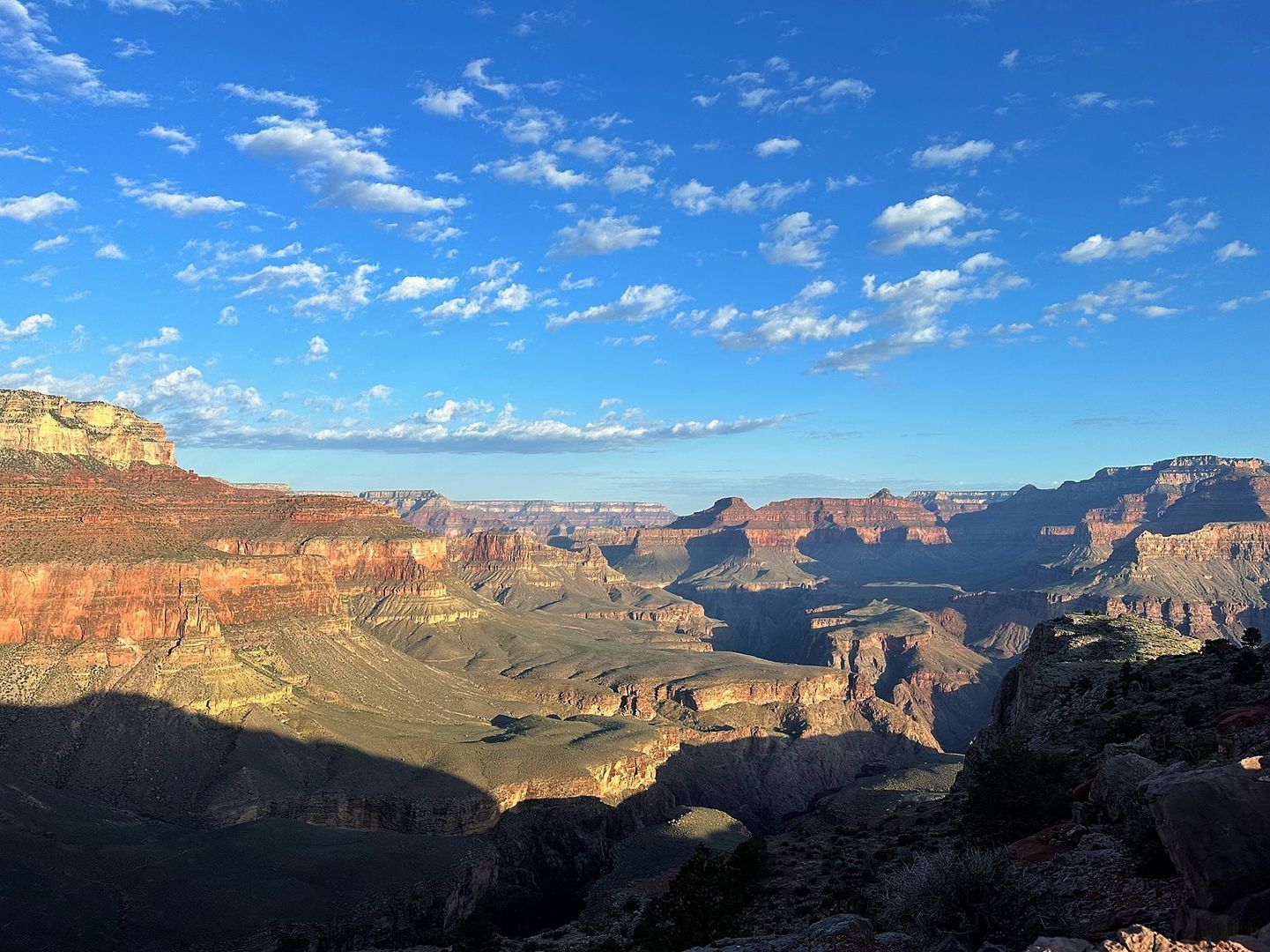
如果沒有風風雨雨,這些層巒疊嶂的山巒,當然可以天荒地老。但是,地球的生態圈,淒風冷雨不斷侵蝕著地殼的隆起與下降。
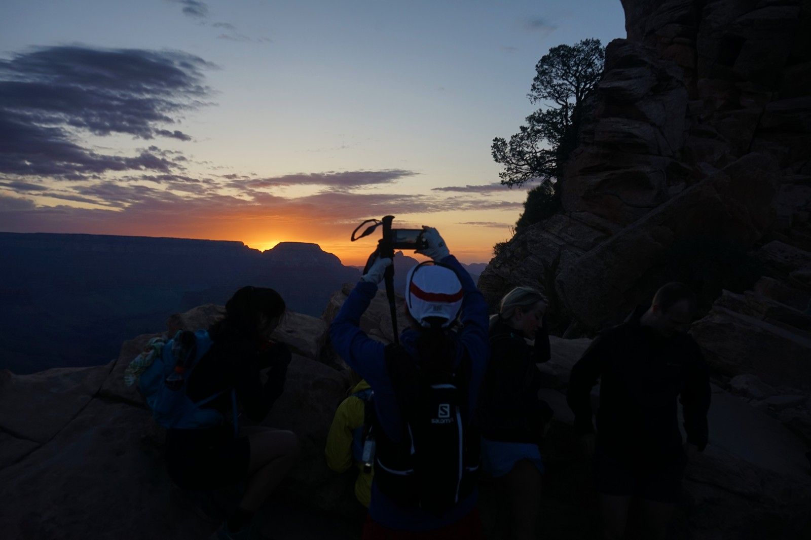
540AM,日出。
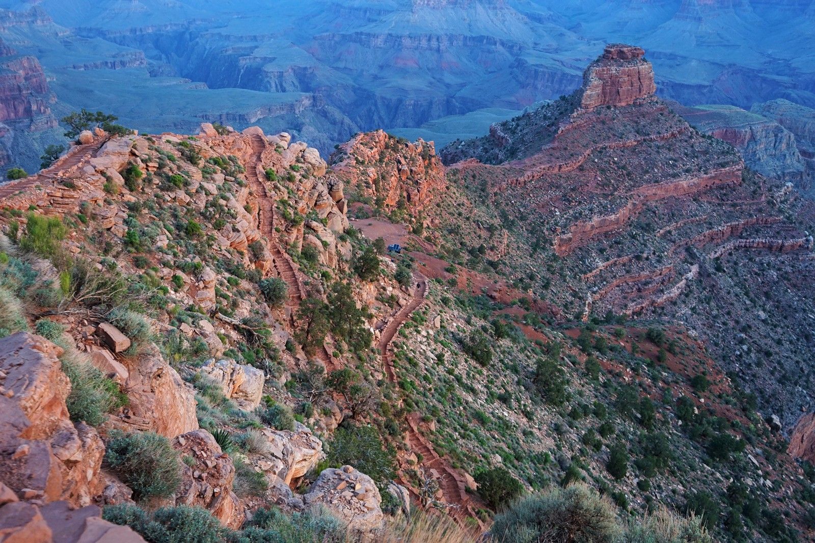
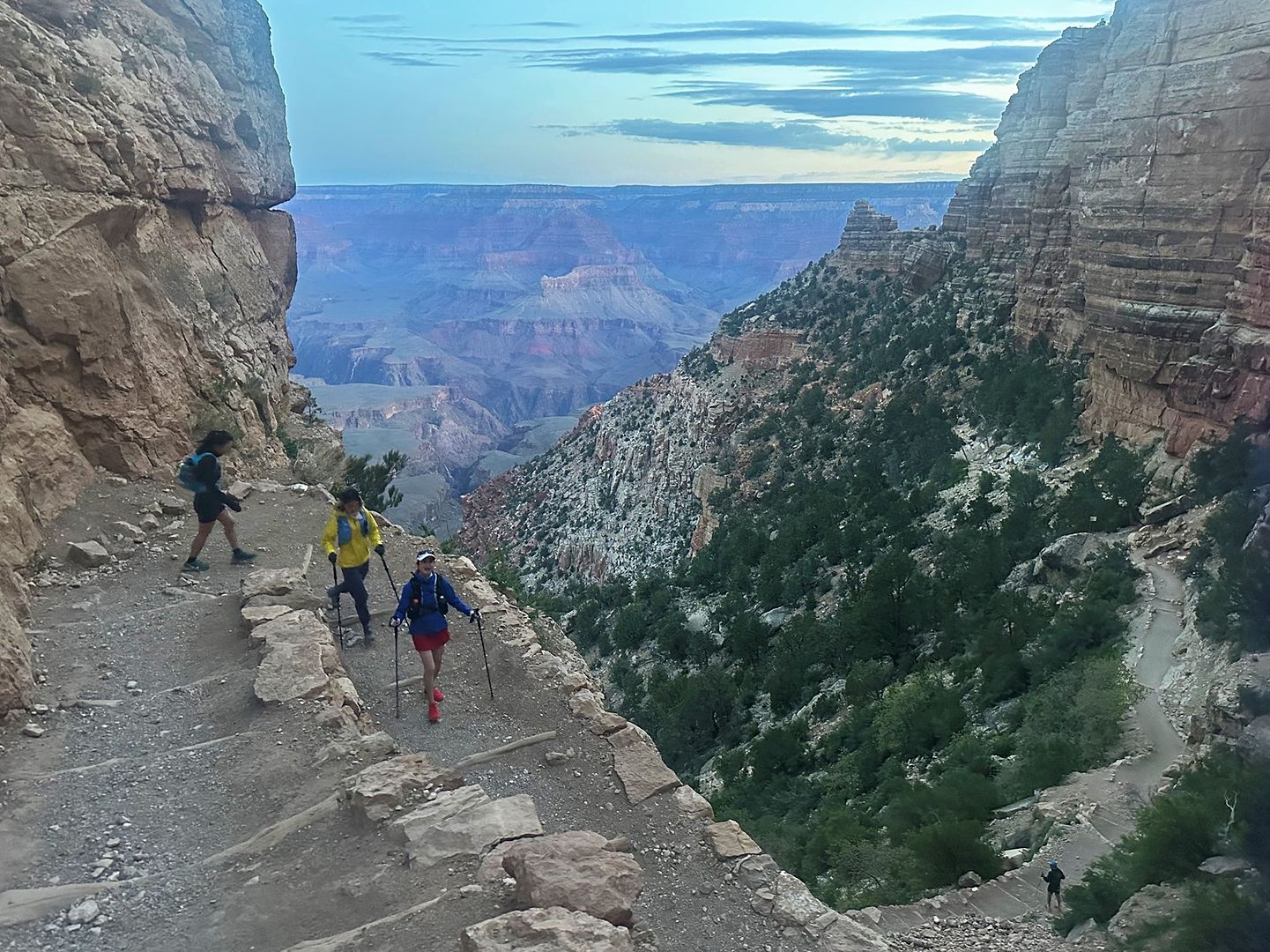
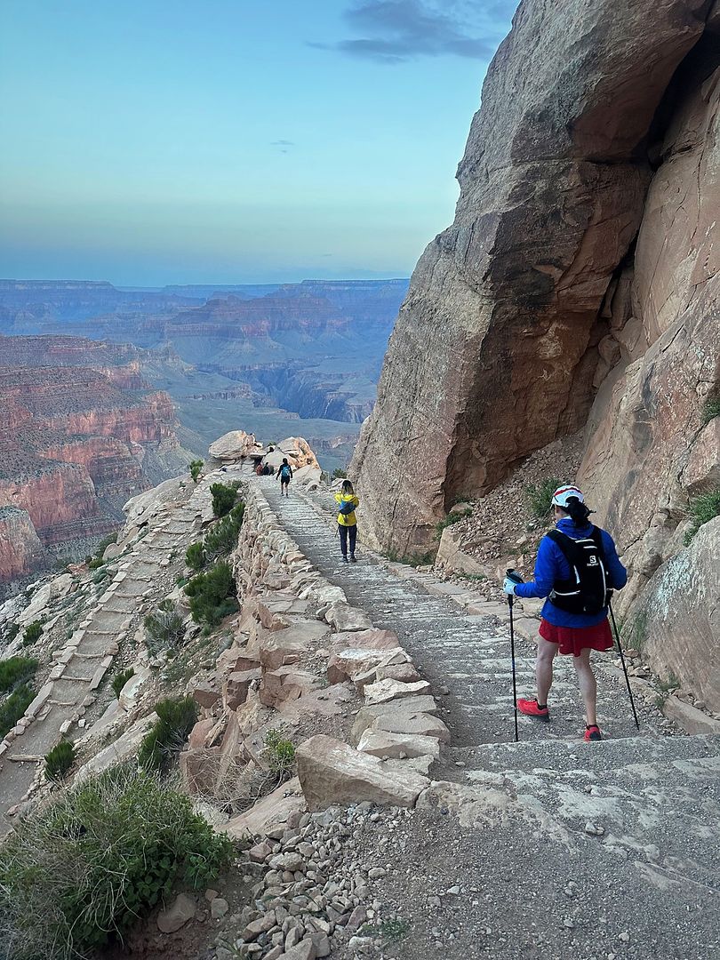
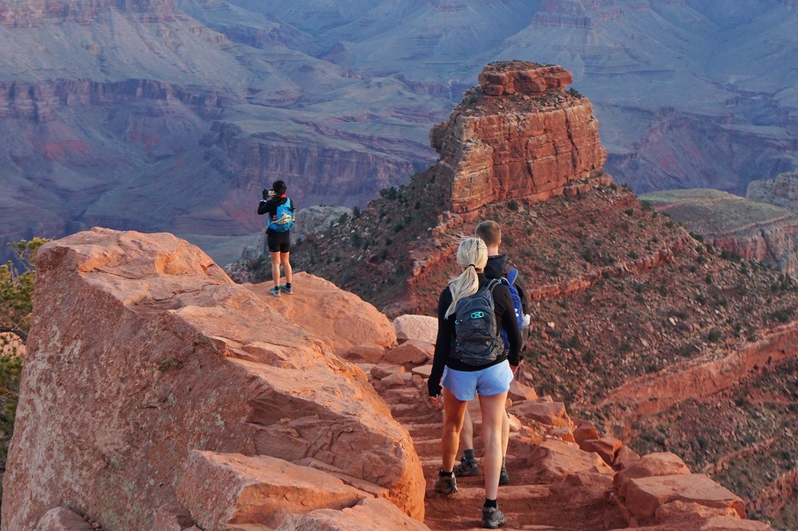
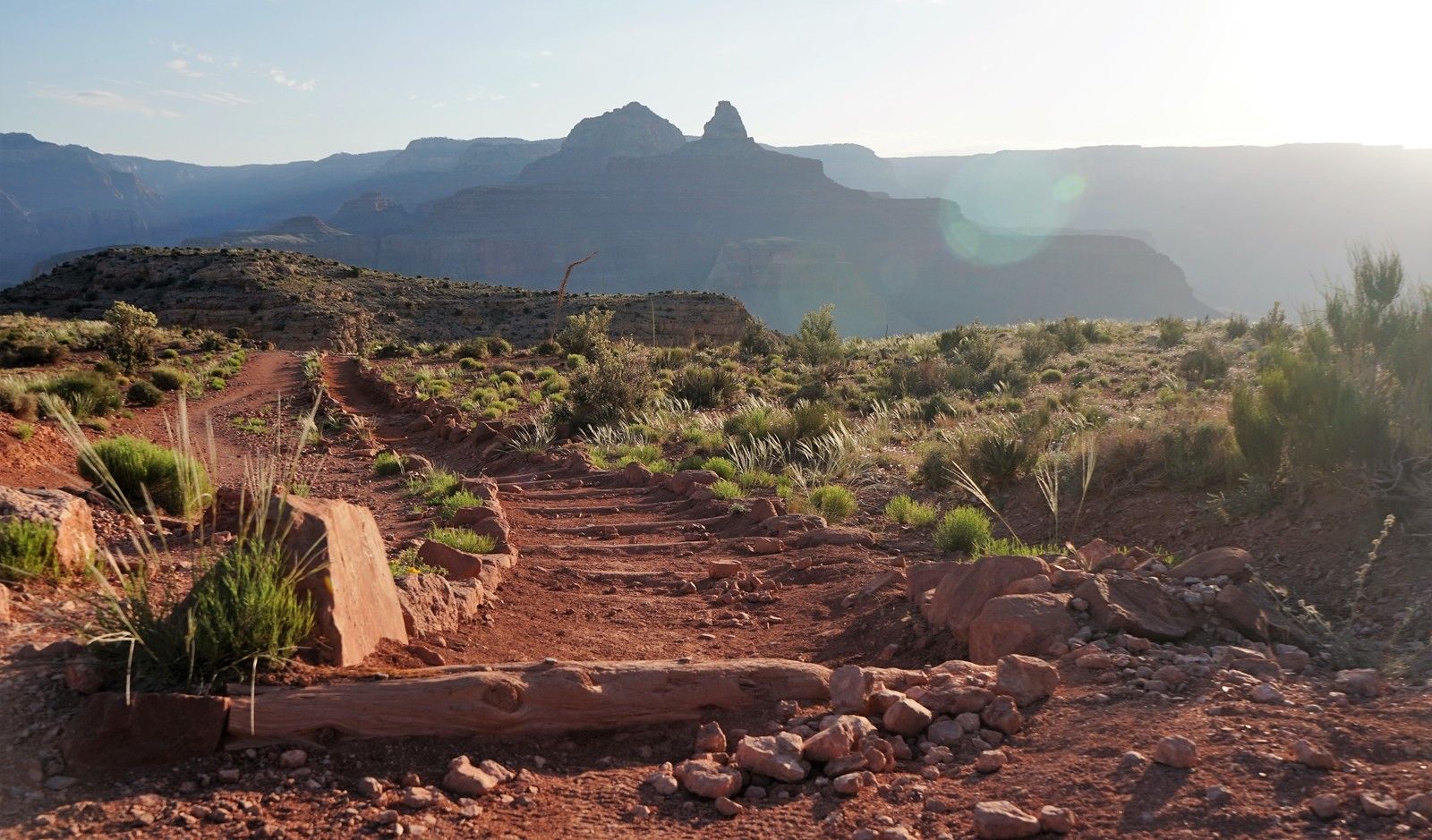
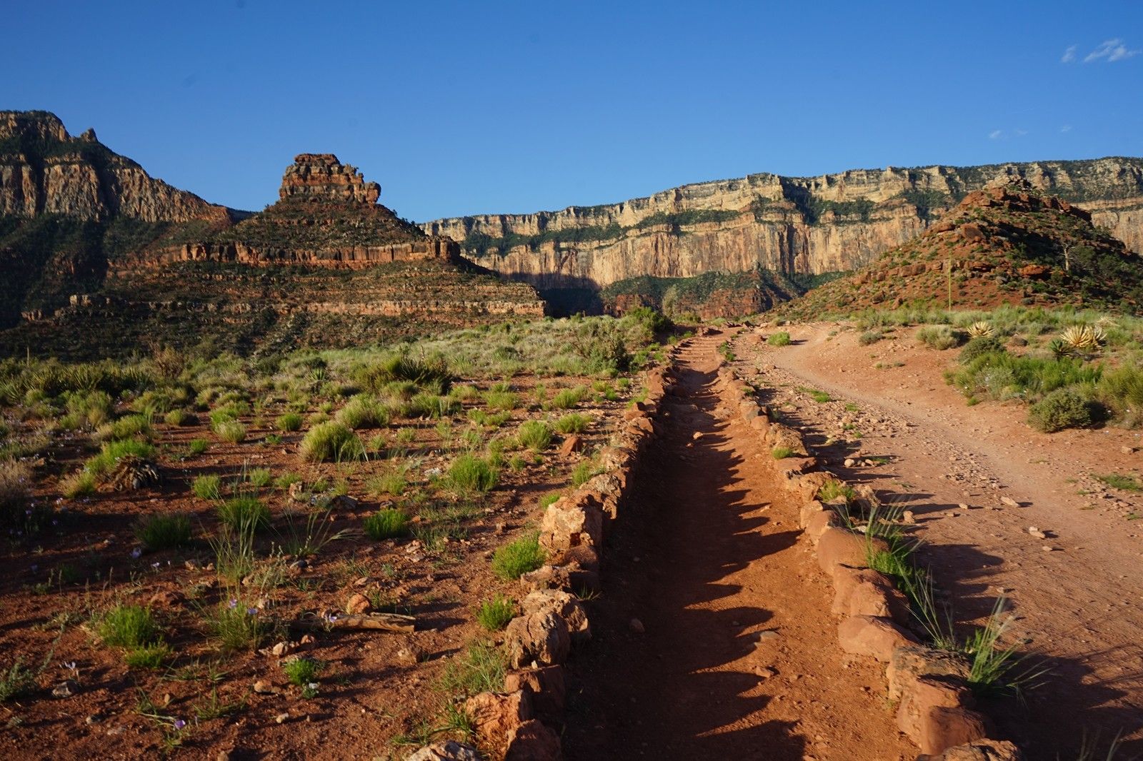
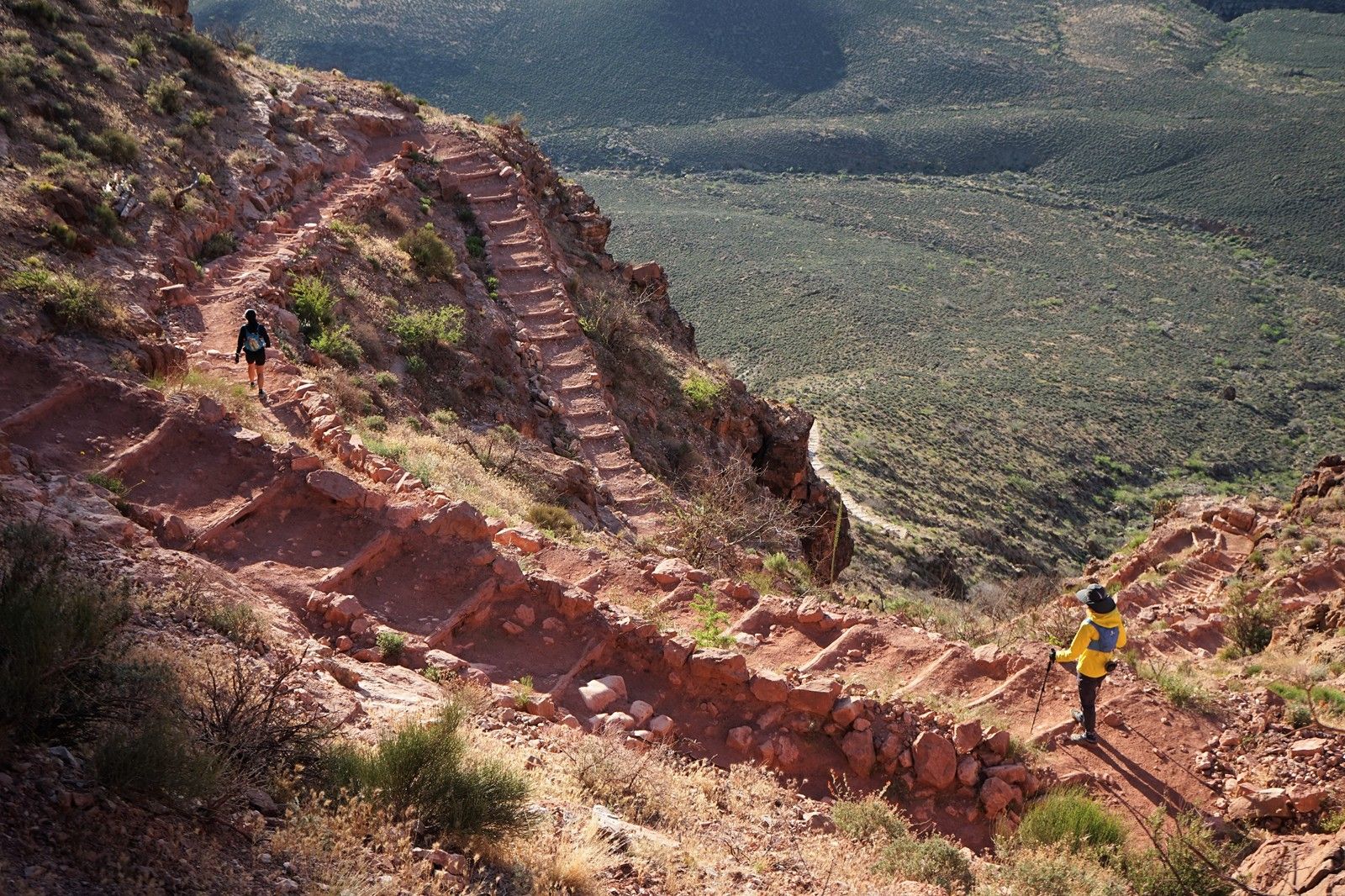
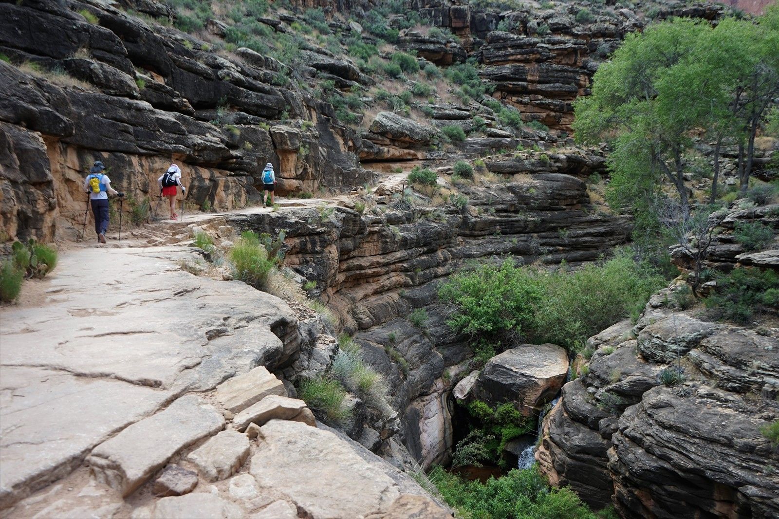
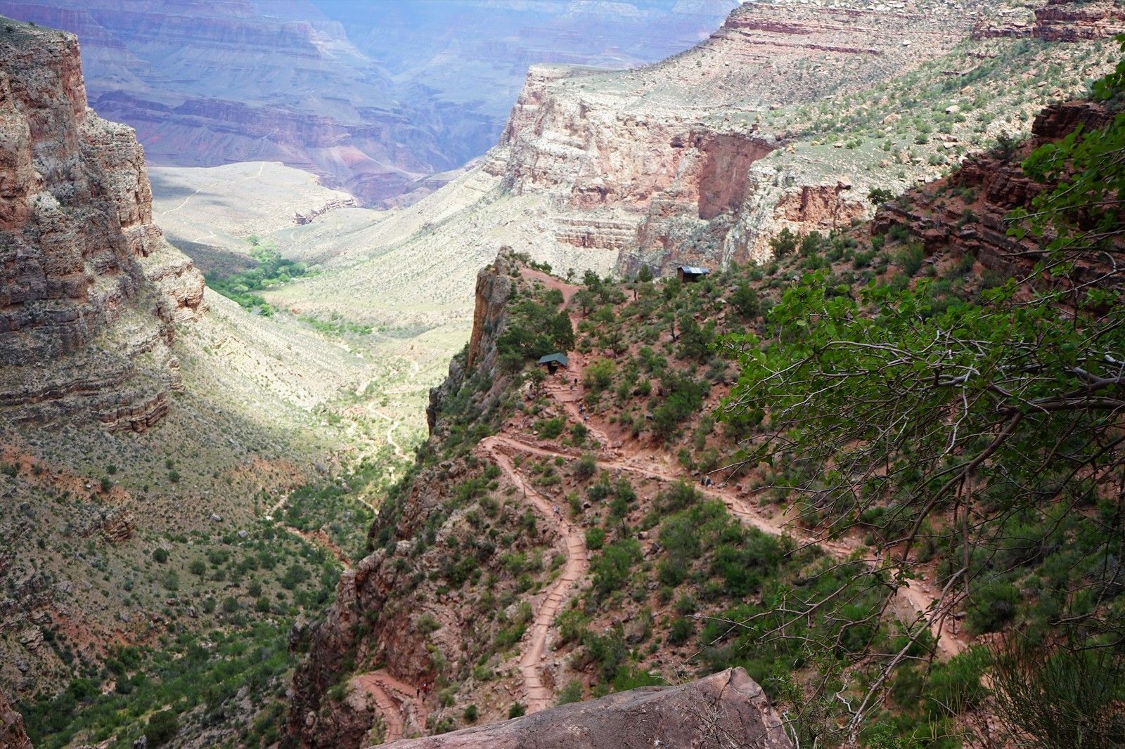
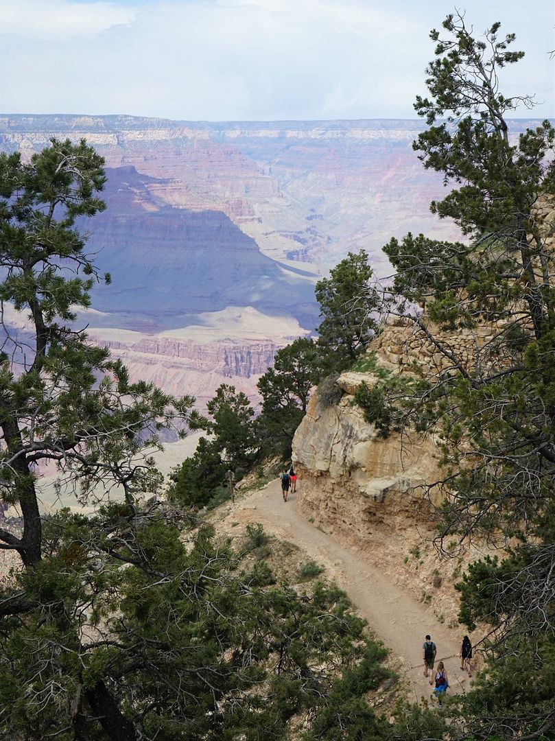
south kaibab步道風景最美的一段。
晨光中,踏上了south kaibab步道最美路段。
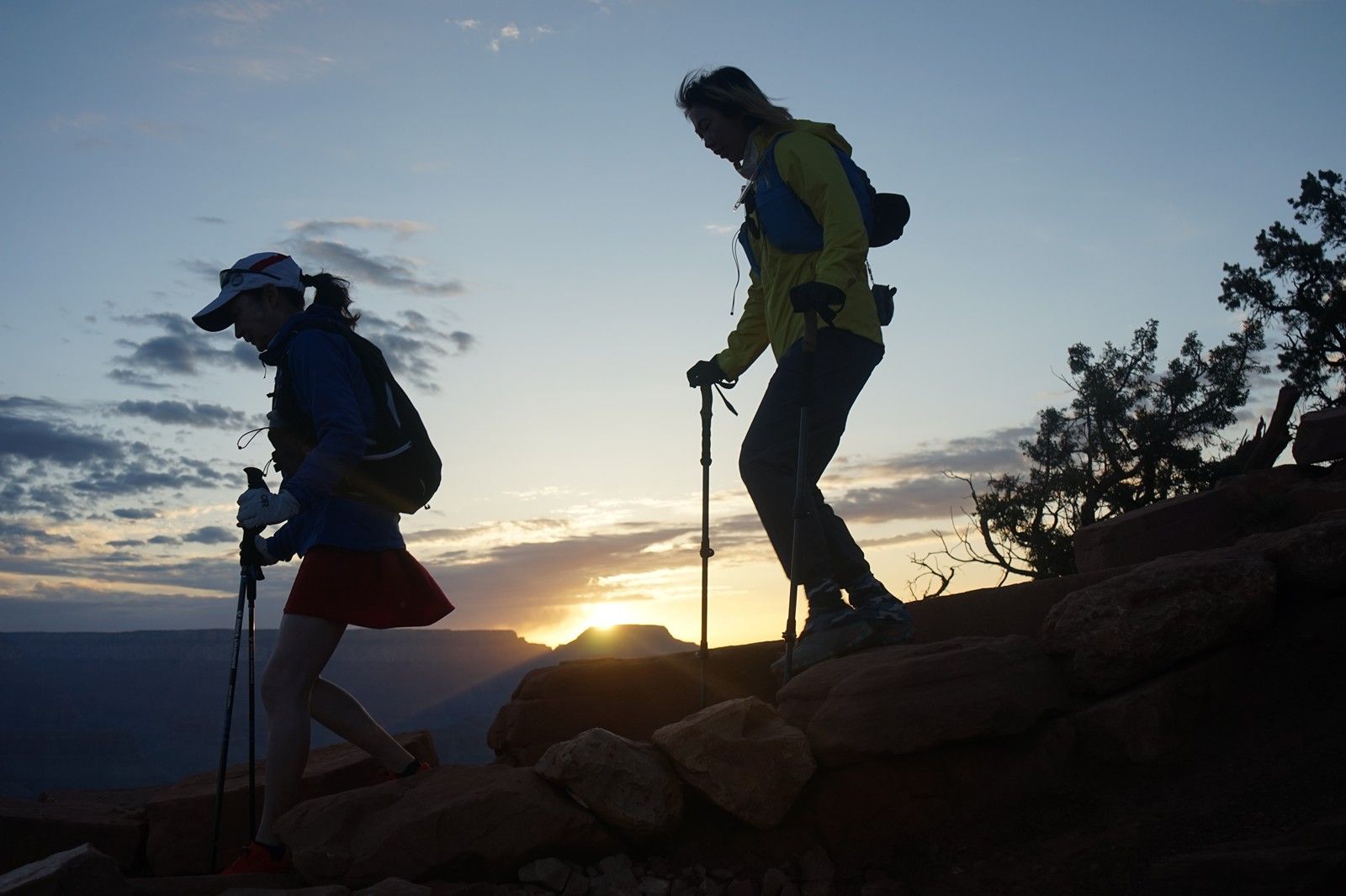
太陽出來了,世界光明了。
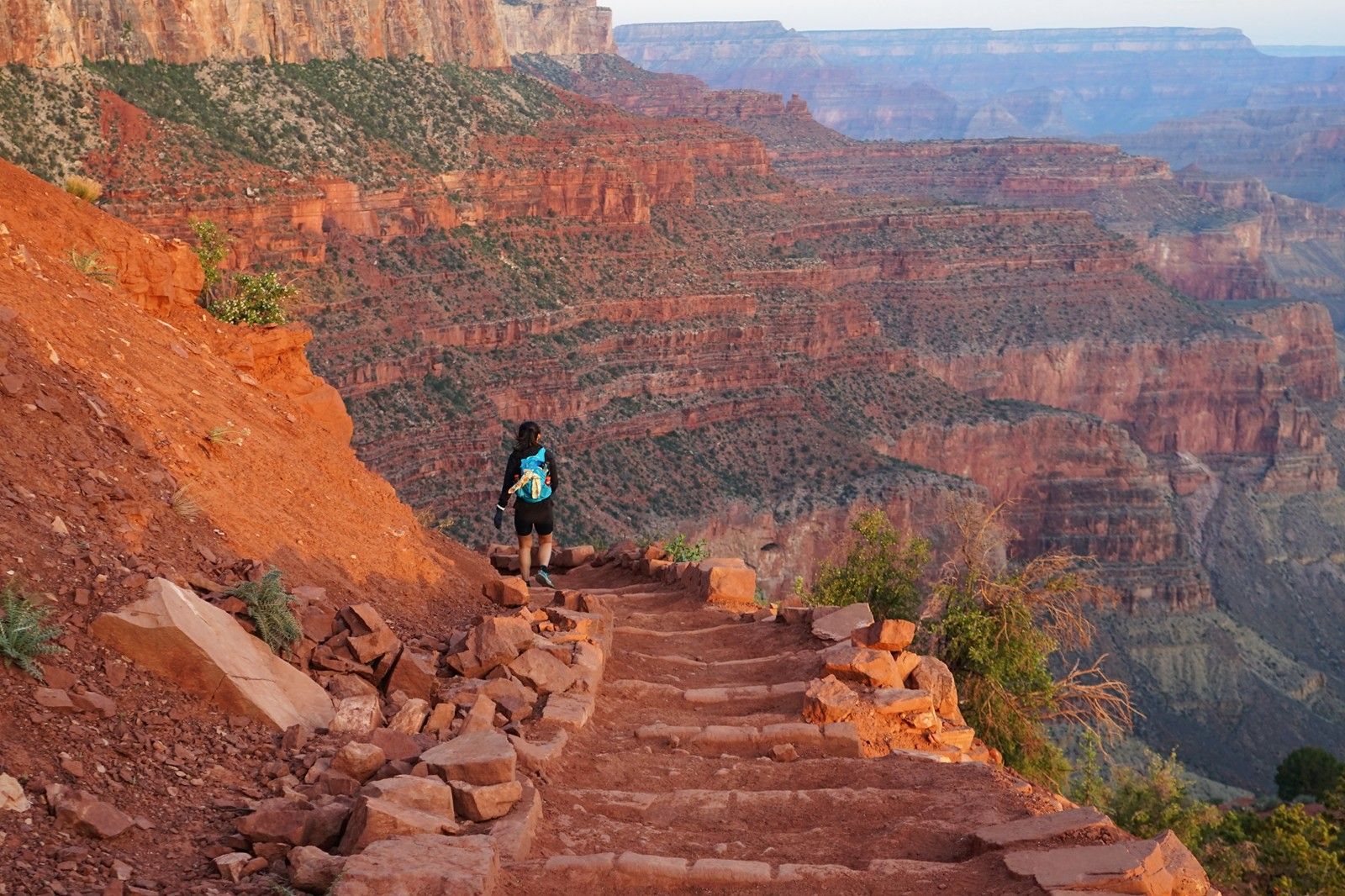
奔跑在前的Huijiang妹子。背景是骷髏頭景點(Skeleton Point)。
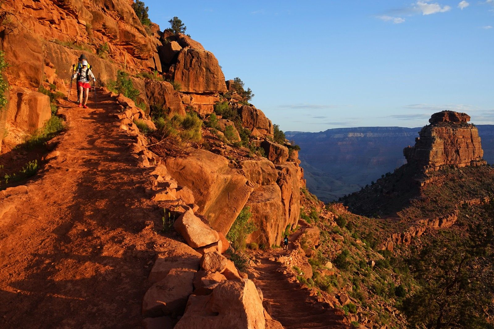
漫步在層層疊疊的地質年輪之中。
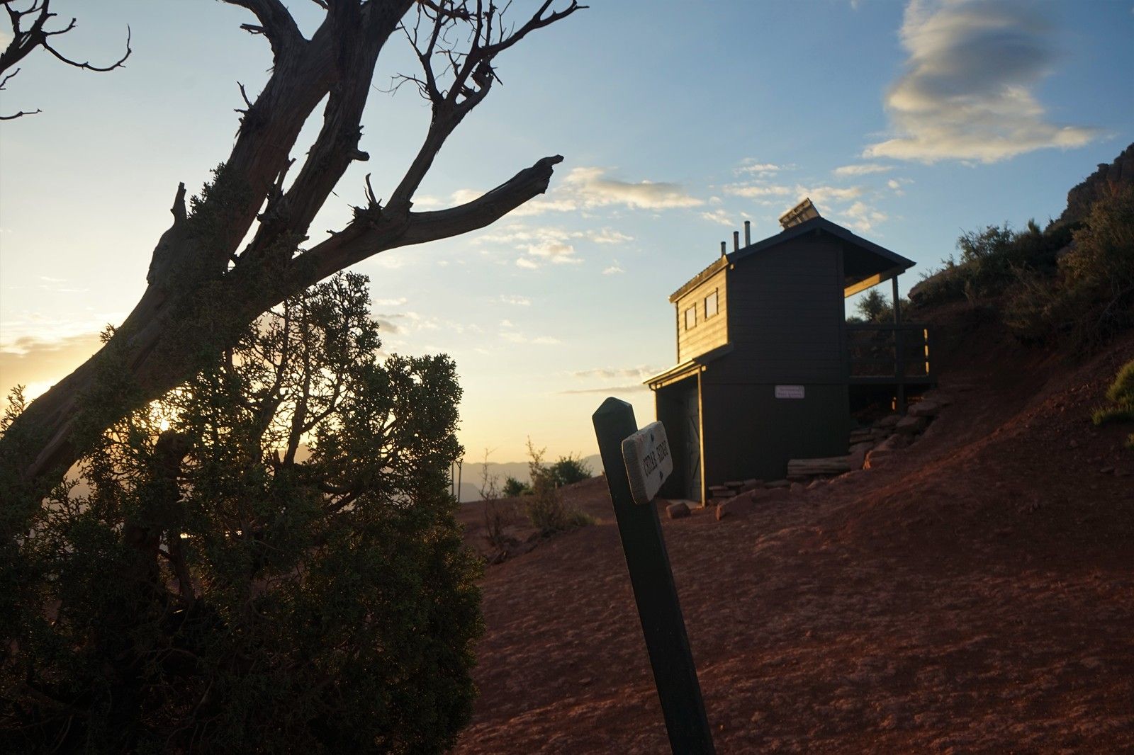
高檔廁所。在本人遊曆過的國家公園中,大峽穀的公共設備,是最完備的。
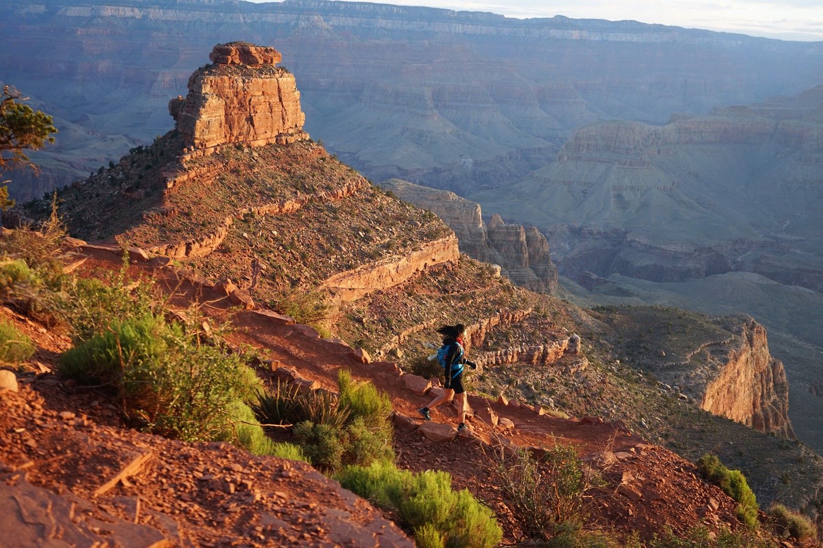
向骷髏頭挺進中。
光與影,大峽穀變幻莫測。
即使是在手機鏡頭中,大峽穀也是壯闊非凡。
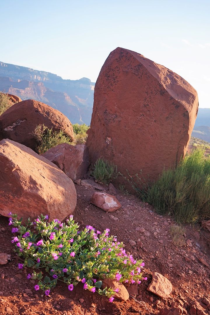
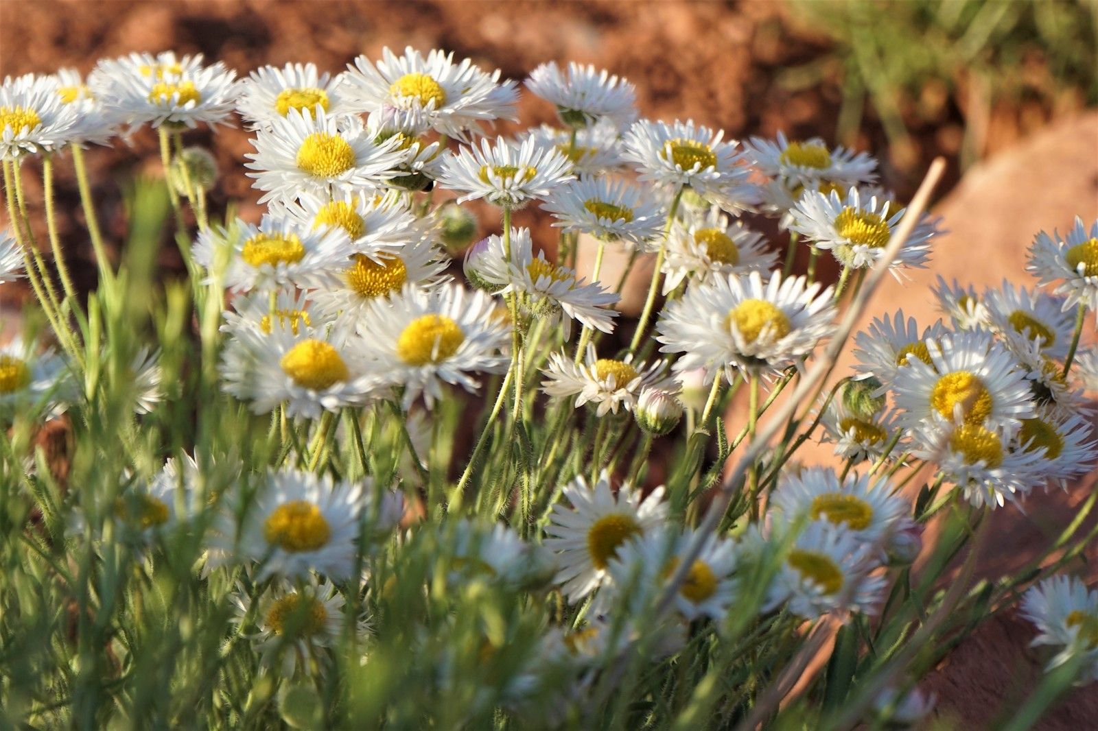
大峽穀的山花。
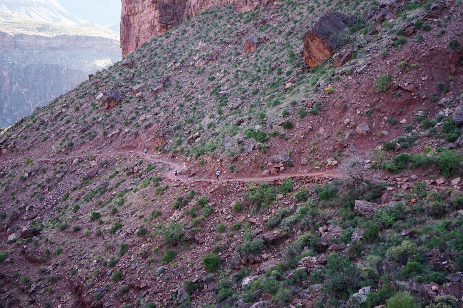
大峽穀的“騾道”--馱貨馱人的騾子道。
之字形盤山山道。
一行白鷺下峽穀。
初見科羅拉多河。
白鷺之路上的匆匆旅人。
又見科羅拉多河。
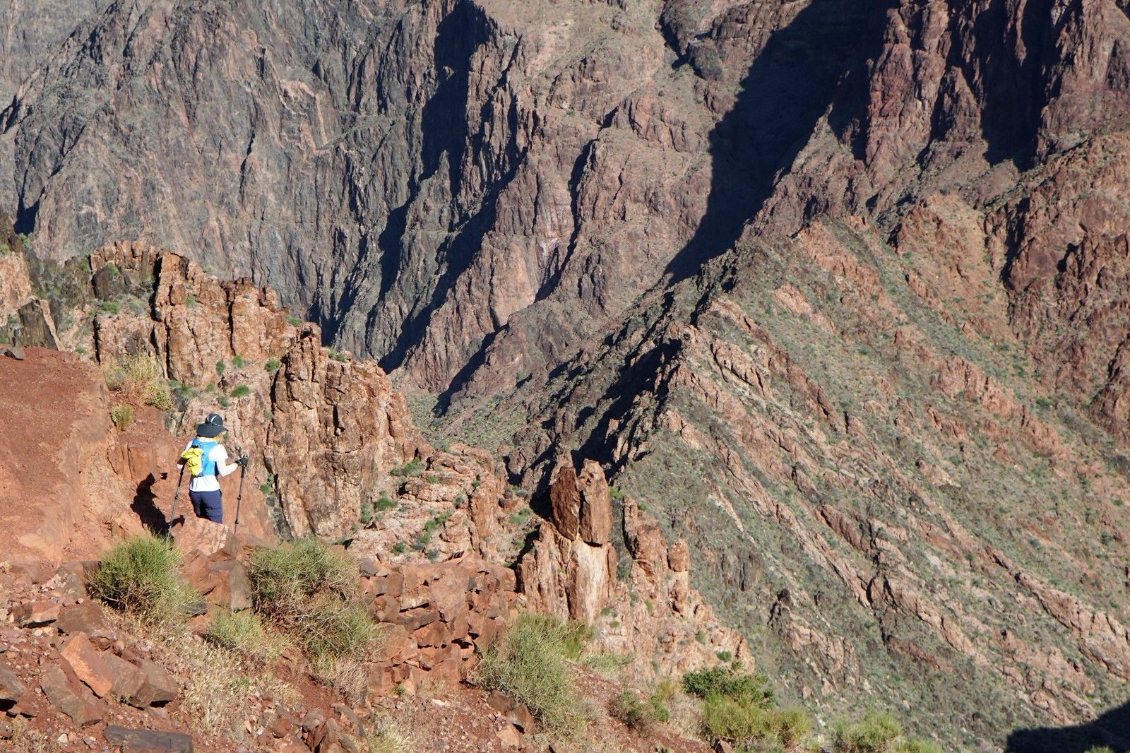
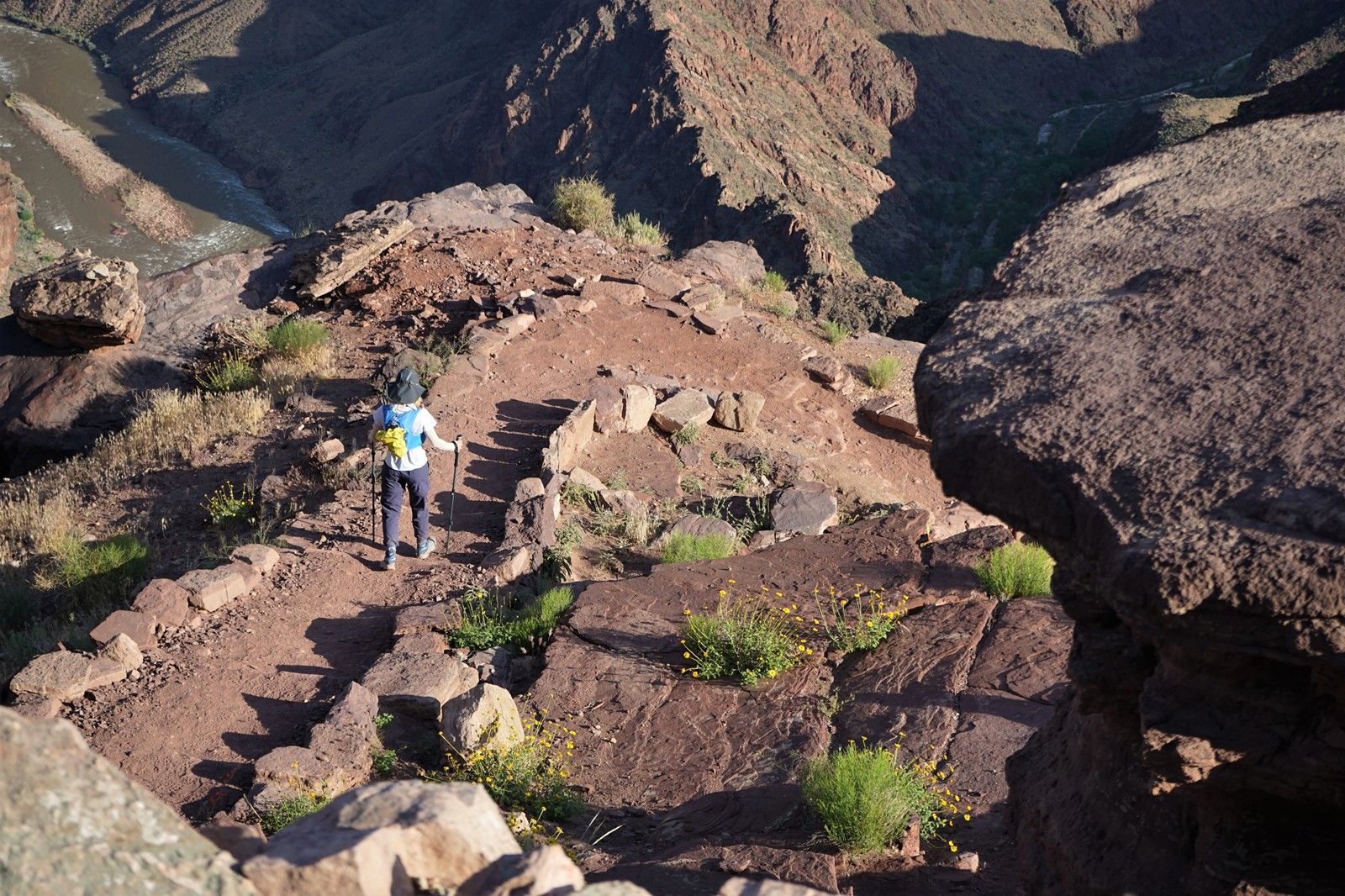
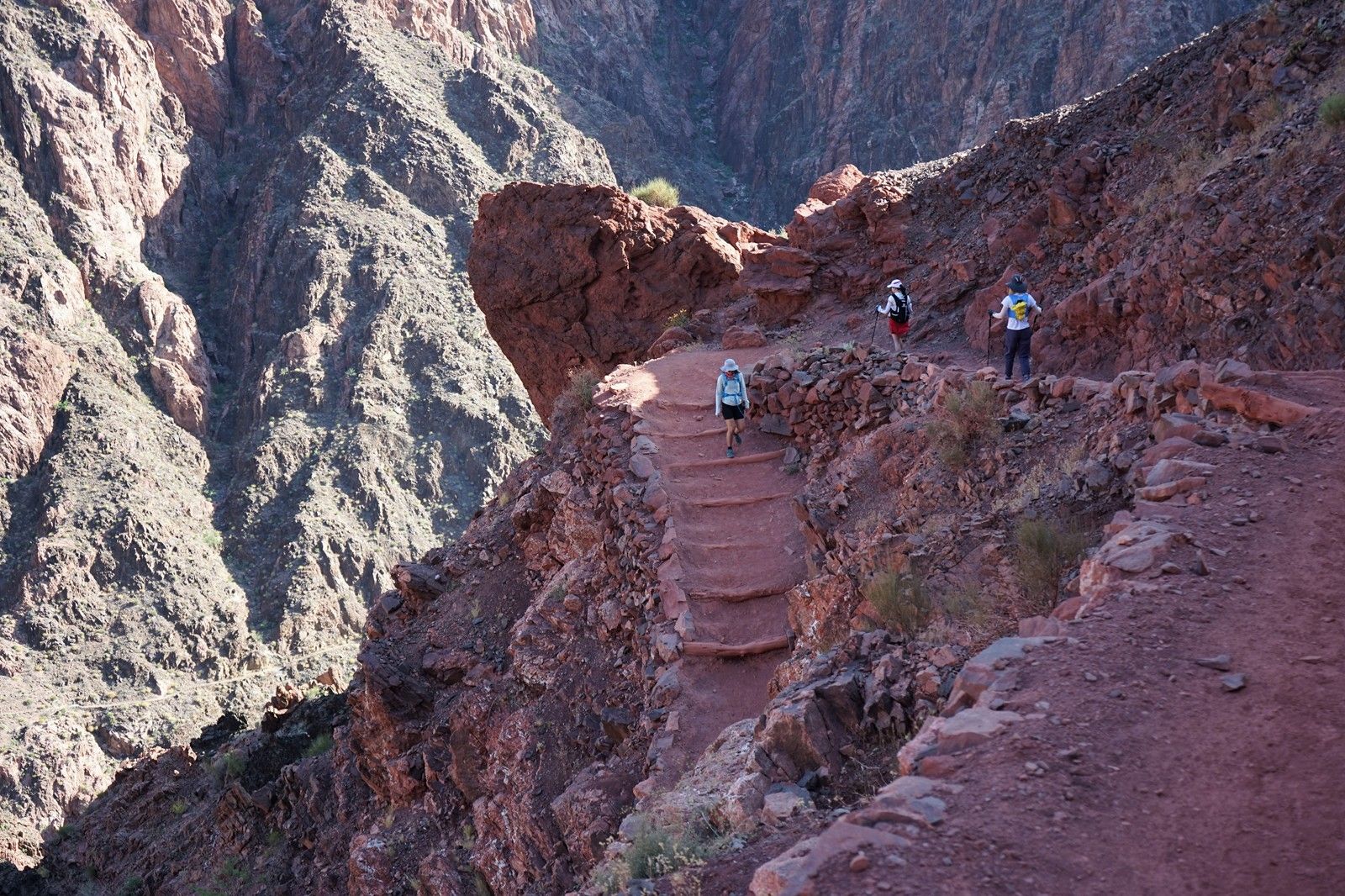
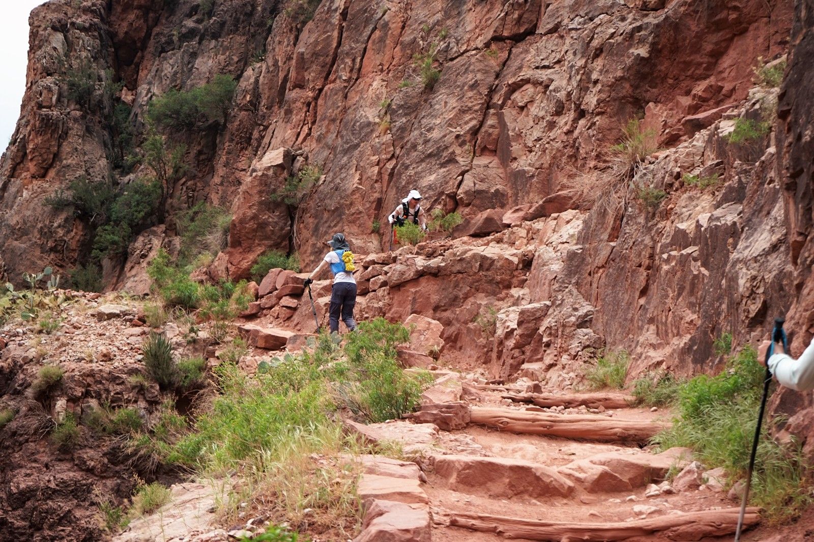
行走在萬仞山巔之上。
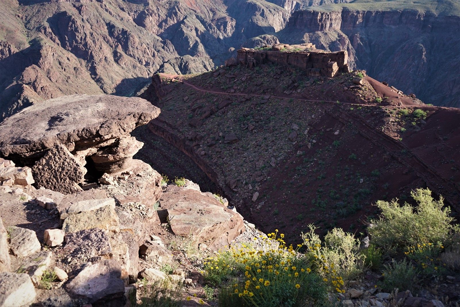
旁路了一個小小景點。
科羅拉多河穀俯瞰。
之字形的下山之路。
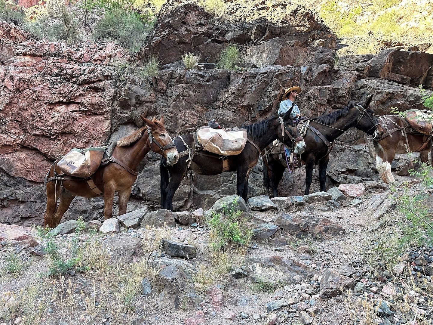
路遇上山途中的騾子隊。向騾子領隊表示,非常羨慕他所從事的工作。
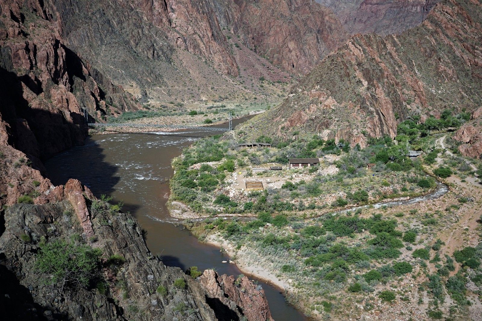
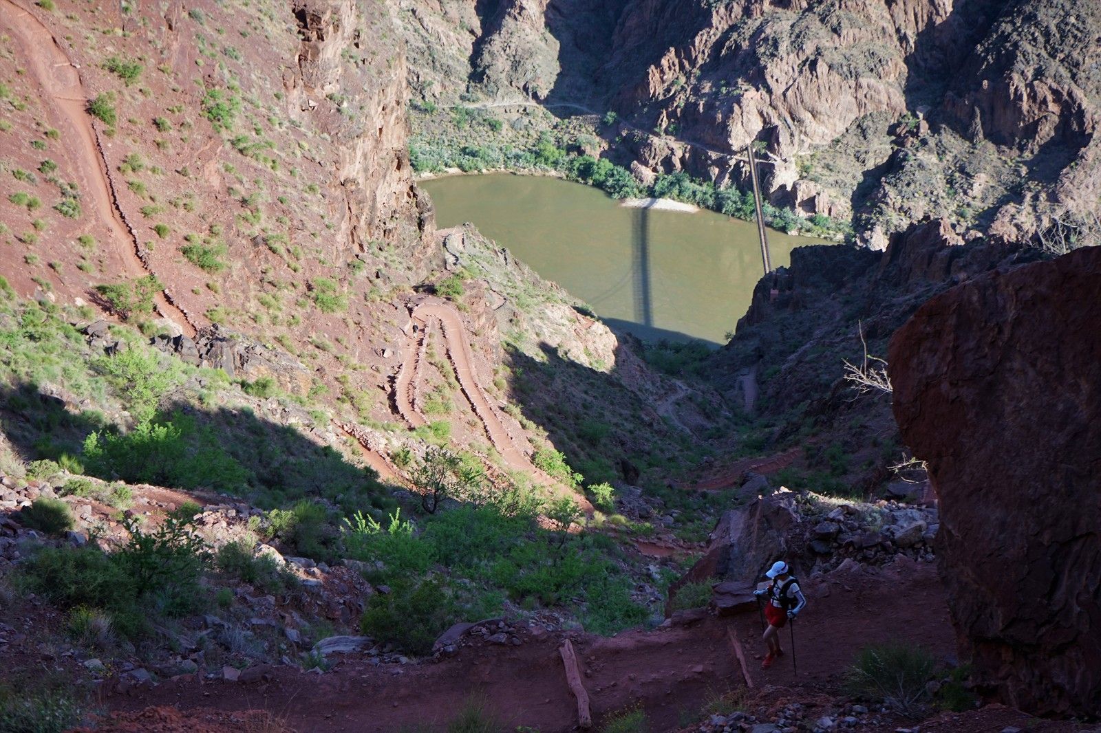
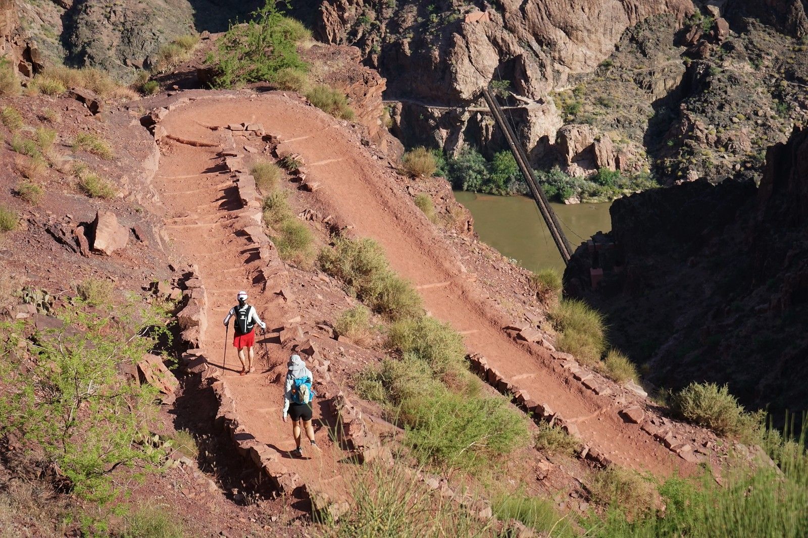
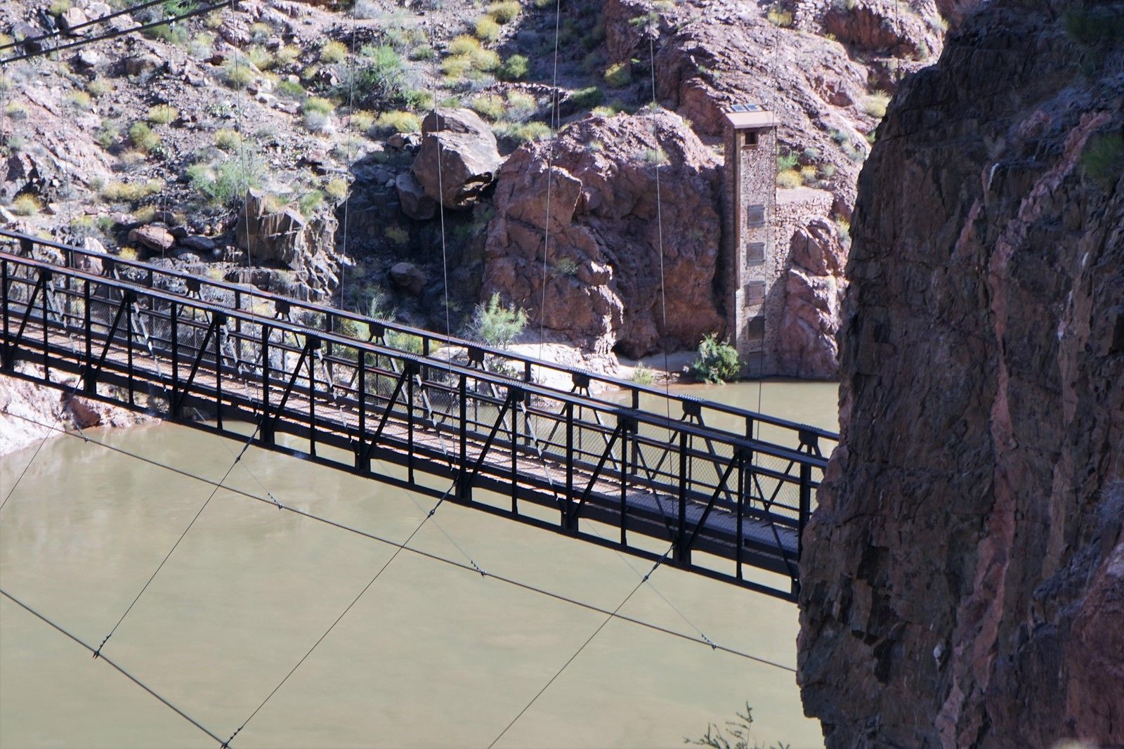
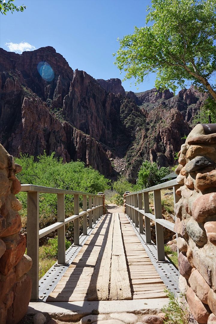
科羅拉多河上的銀橋。
科羅拉多河上的黑橋。
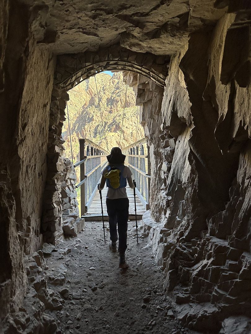
踏上黑橋。
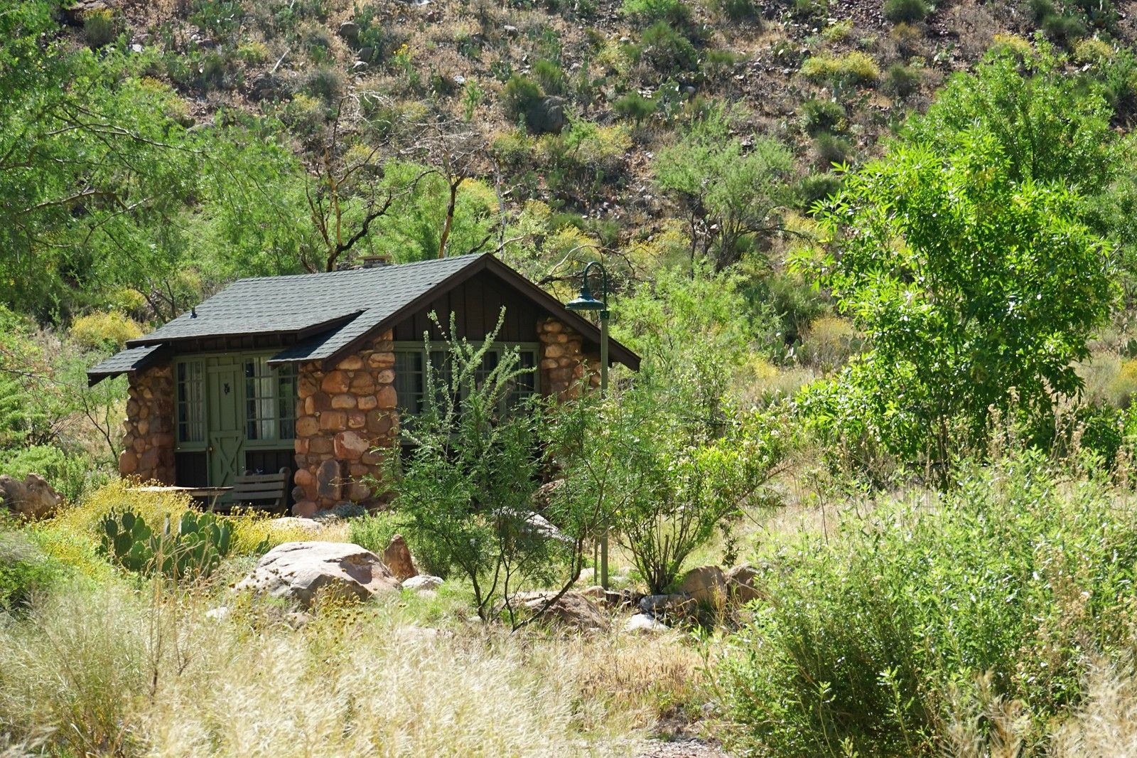
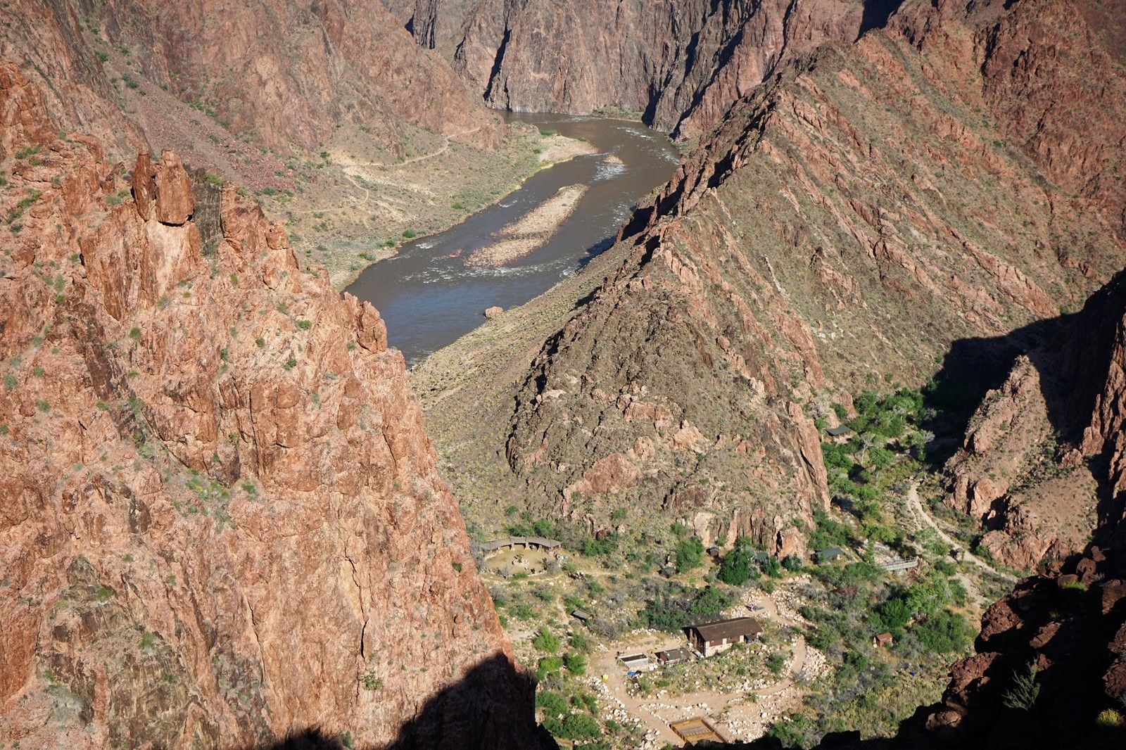
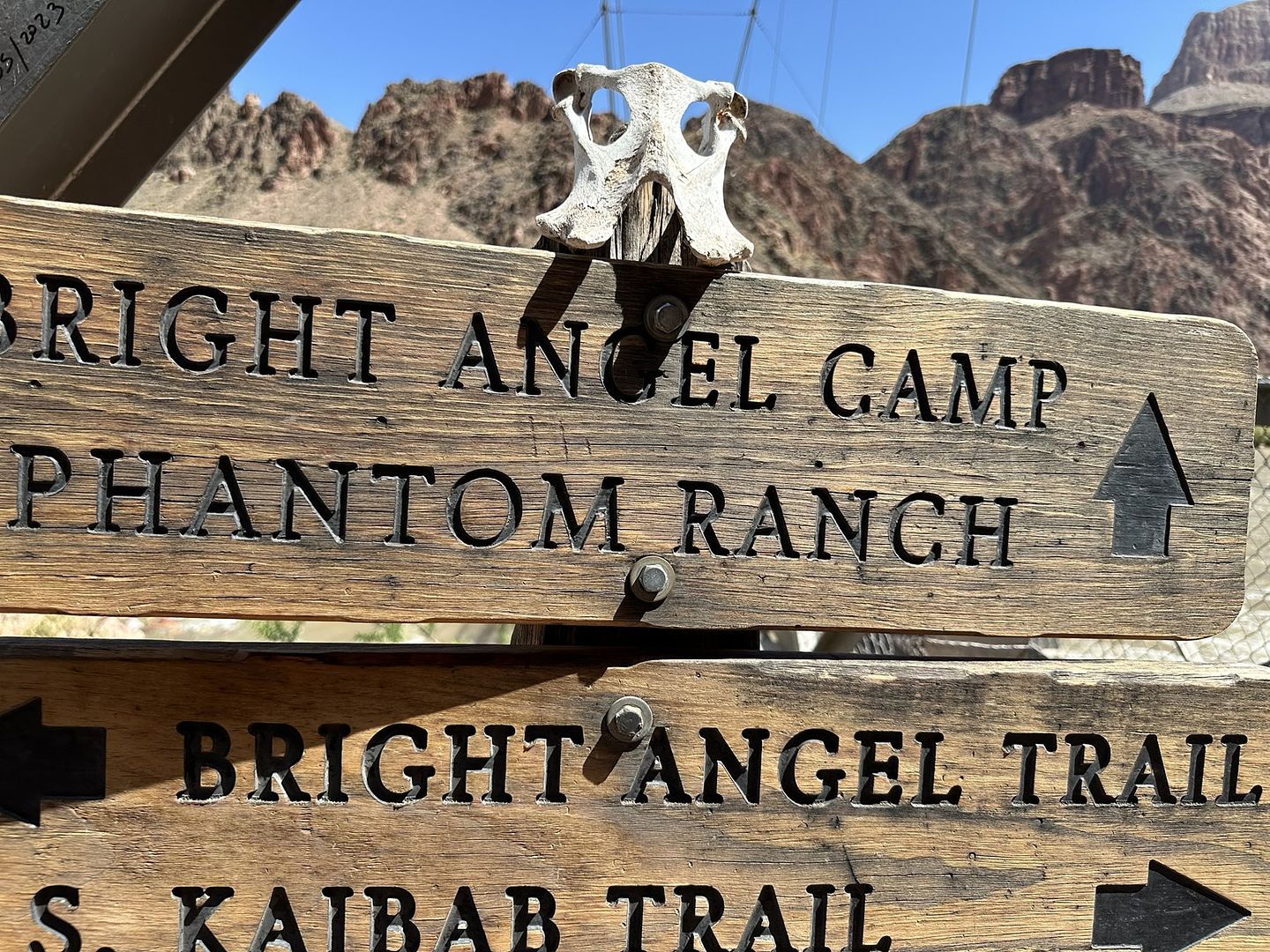
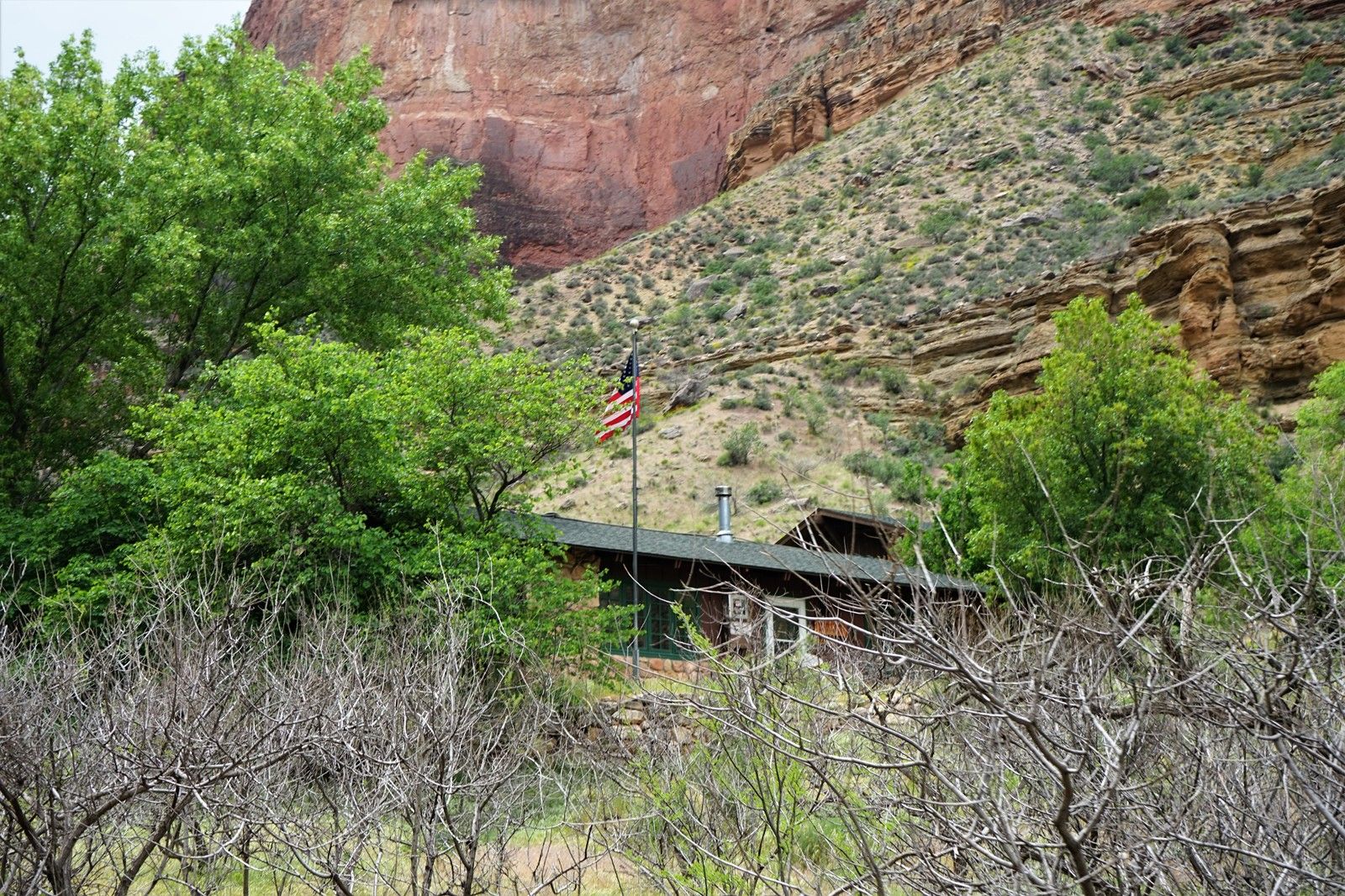
940AM,抵達8英裏處的幽靈牧場(Phantom Ranch)。
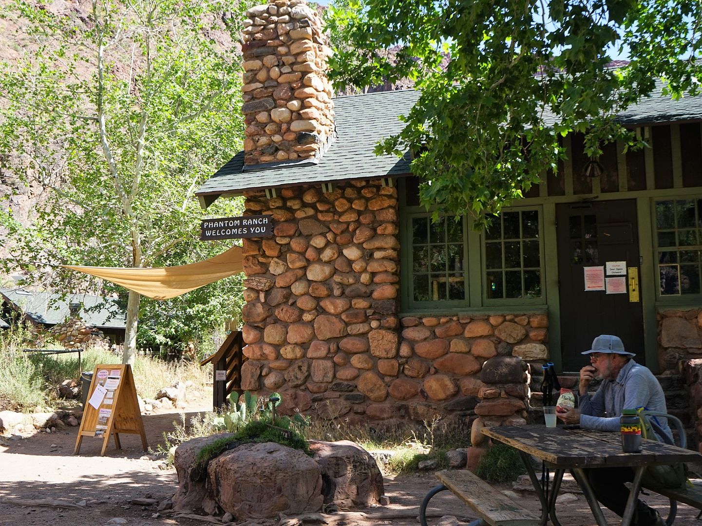
娘子軍團在此享受了冰凍檸檬水,還忙不迭地給親朋好友發了明信片。
唉,明信片都是騾子隊從海拔2000英尺的河穀馱上6500英尺的南緣,然後汽車飛機地運往目的地,好多的碳消耗啊!。。。^_^ 在師父率領下,美女軍團發起了神勇的返回北緣之戰
話說在幽靈牧場享受冰鎮檸檬汁的時候,如花大神突然出現在俺們麵前。艾瑪,他此時領先了俺們整整12英裏!叔可忍,嬸不可忍。俺師父匆匆結賬,便率先衝出了幽靈牧場。
跨過天使溪上的木橋。
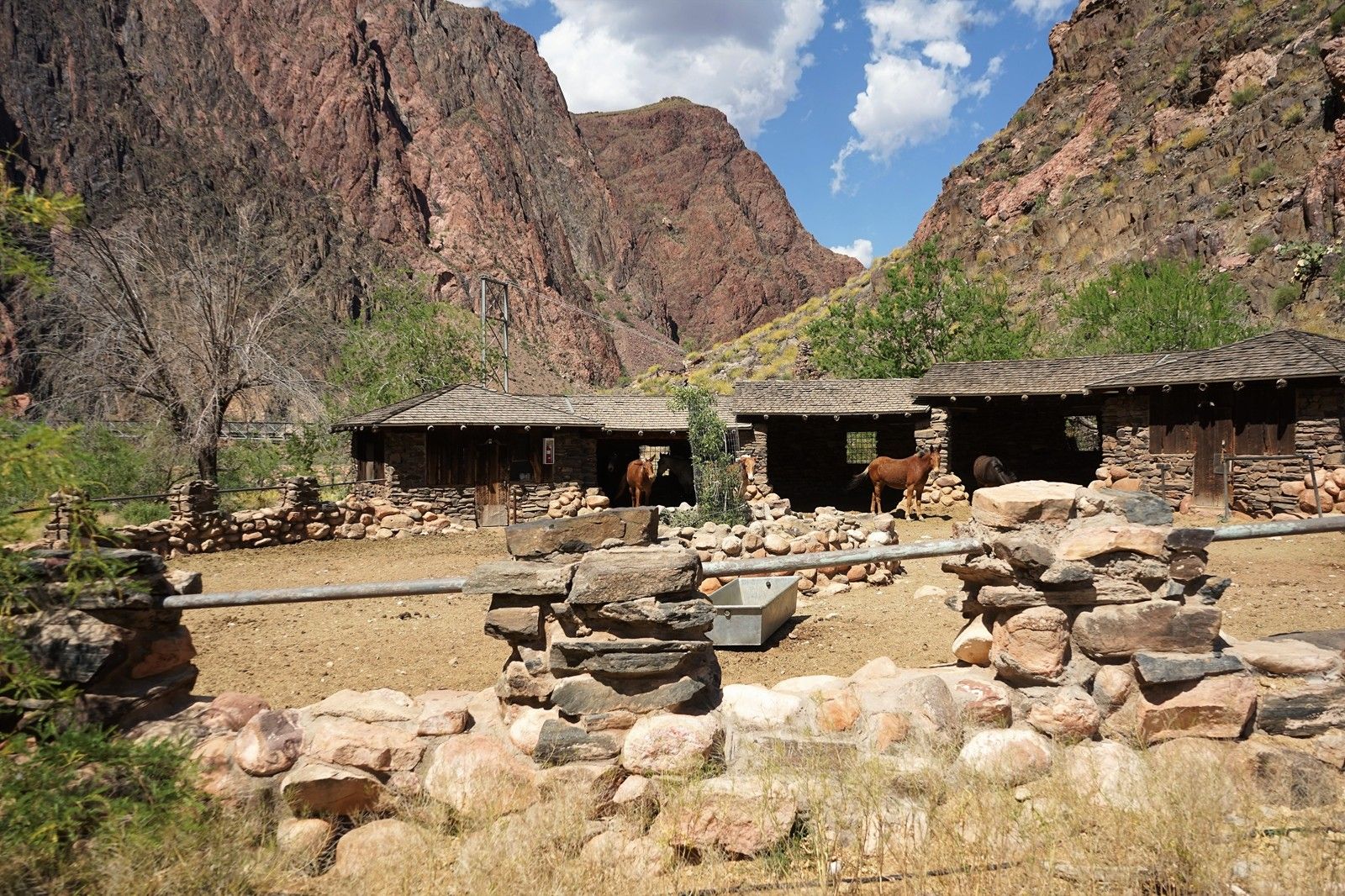
騾子隊的飼養營寨。
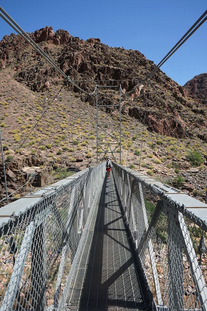
銀橋--Bright Angel Trail Bridge。
銀橋橋頭。
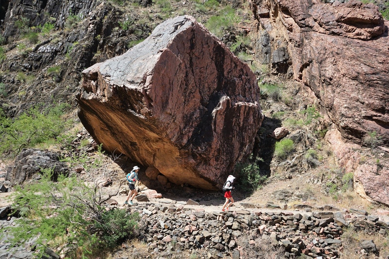
巨石旁的匆匆趕路人。
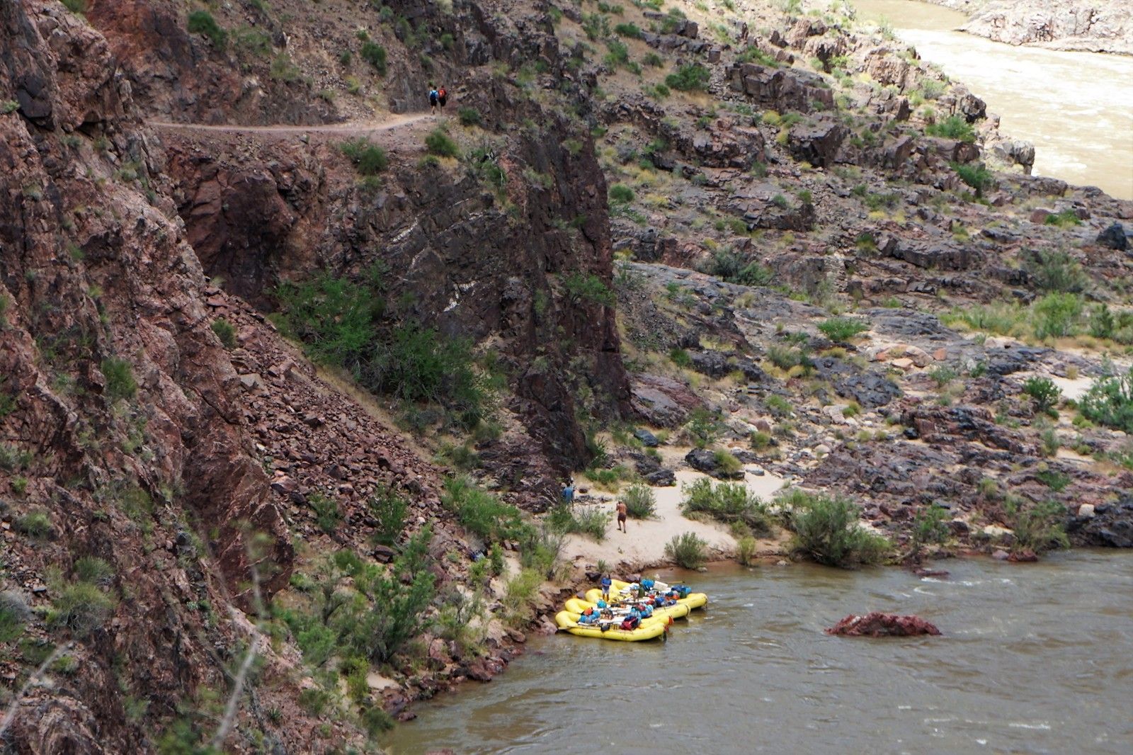
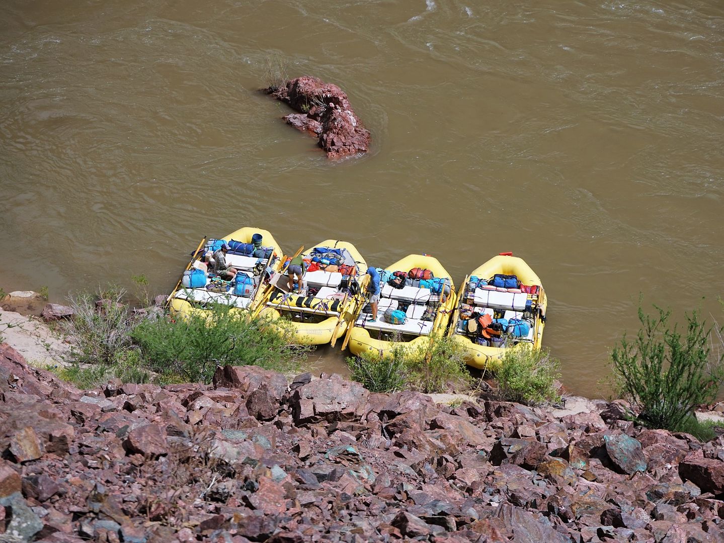
科羅拉多河上的漂流皮艇。
高溫下,匆忙上攀。
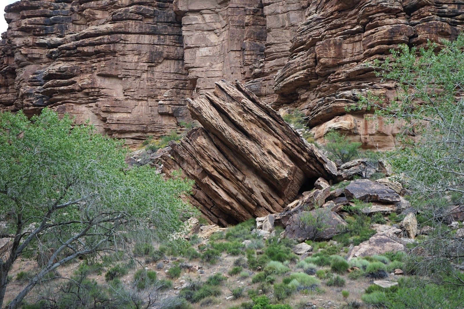
片狀巨石。
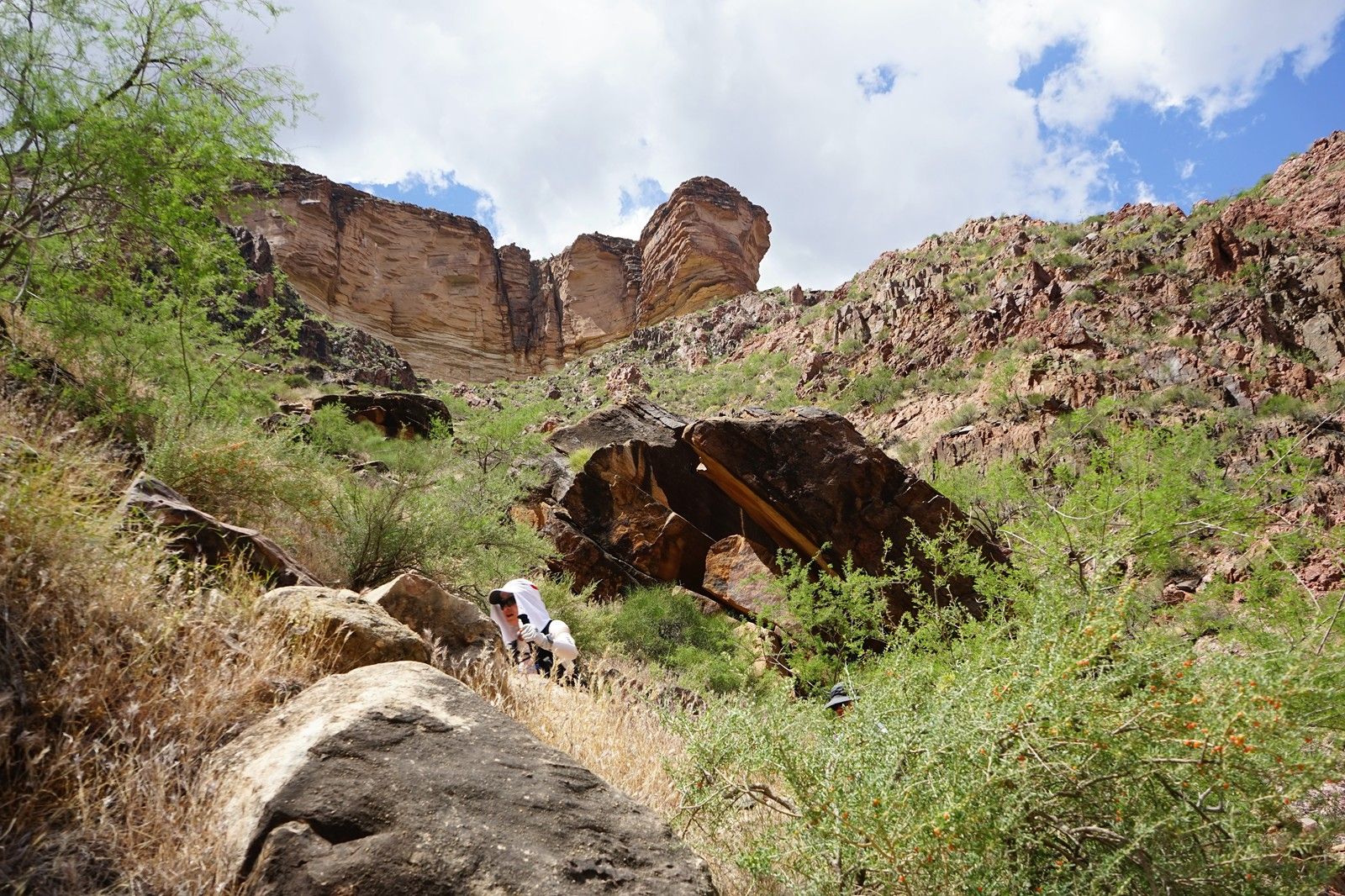
穿越在峽穀旁。
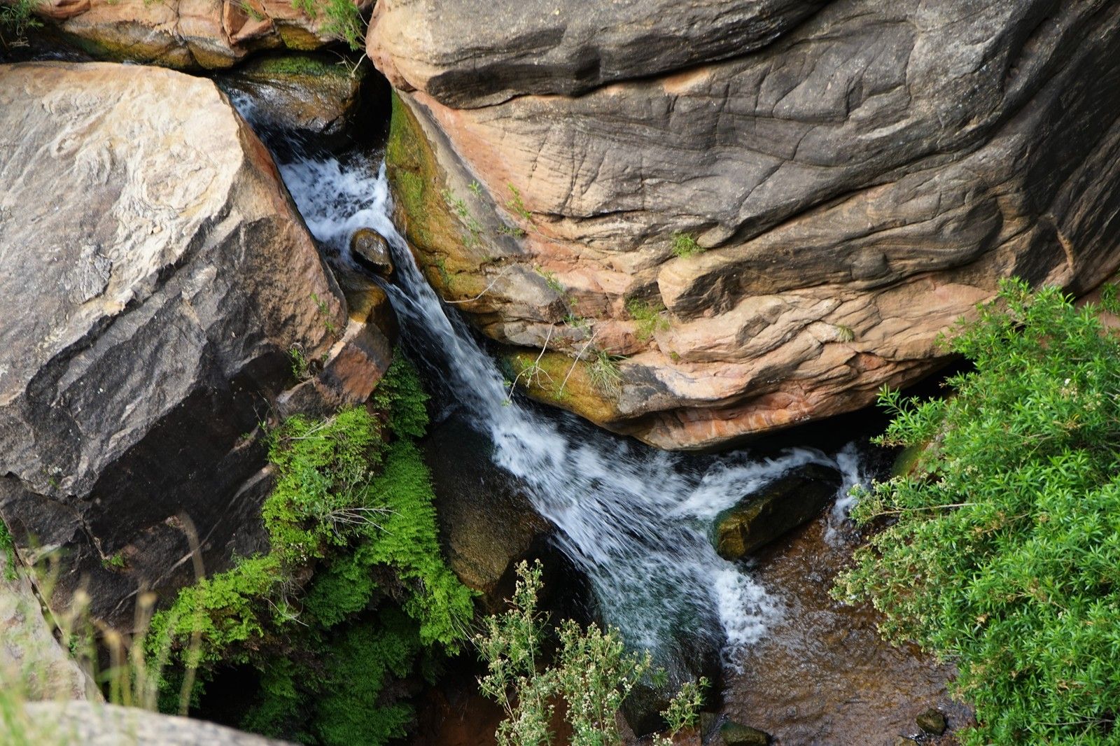
峽穀中的湍流。
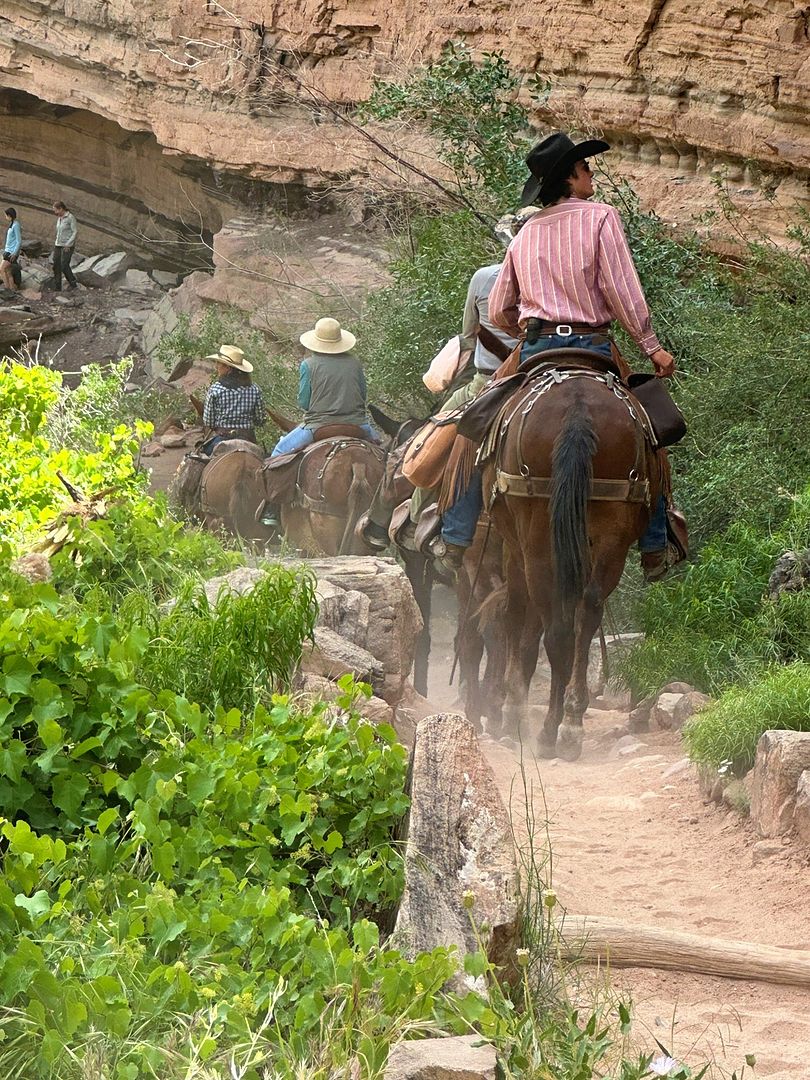
再次路遇騾子隊。這是一支載人的騾隊。
正午12點,抵達14英裏的印第安花園。
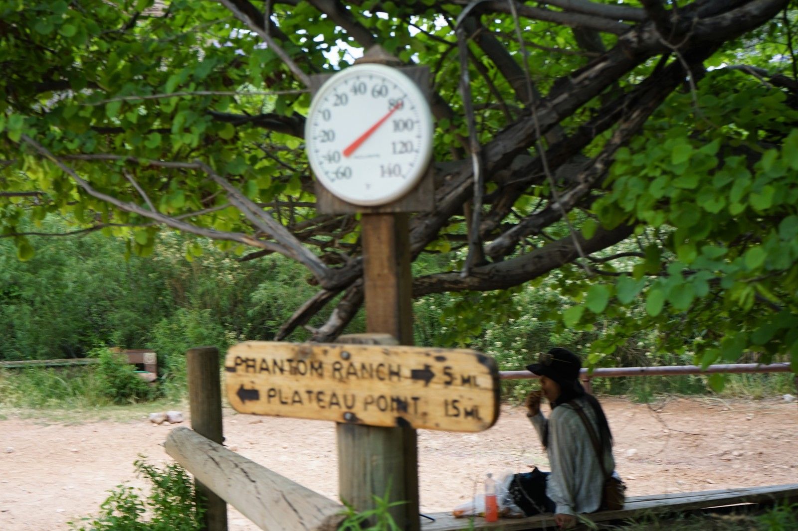
此番運氣甚佳,氣溫不甚高,隻有華氏80度(攝氏25度)。
1245PM,天象轉陰,黑雲壓頂。
師父和子言二人組愈行愈快,逐漸領先。
100PM,越過最後3邁庇護站(Three Mile Resthouse)。
113PM,已經距離3邁庇護站很遠了。
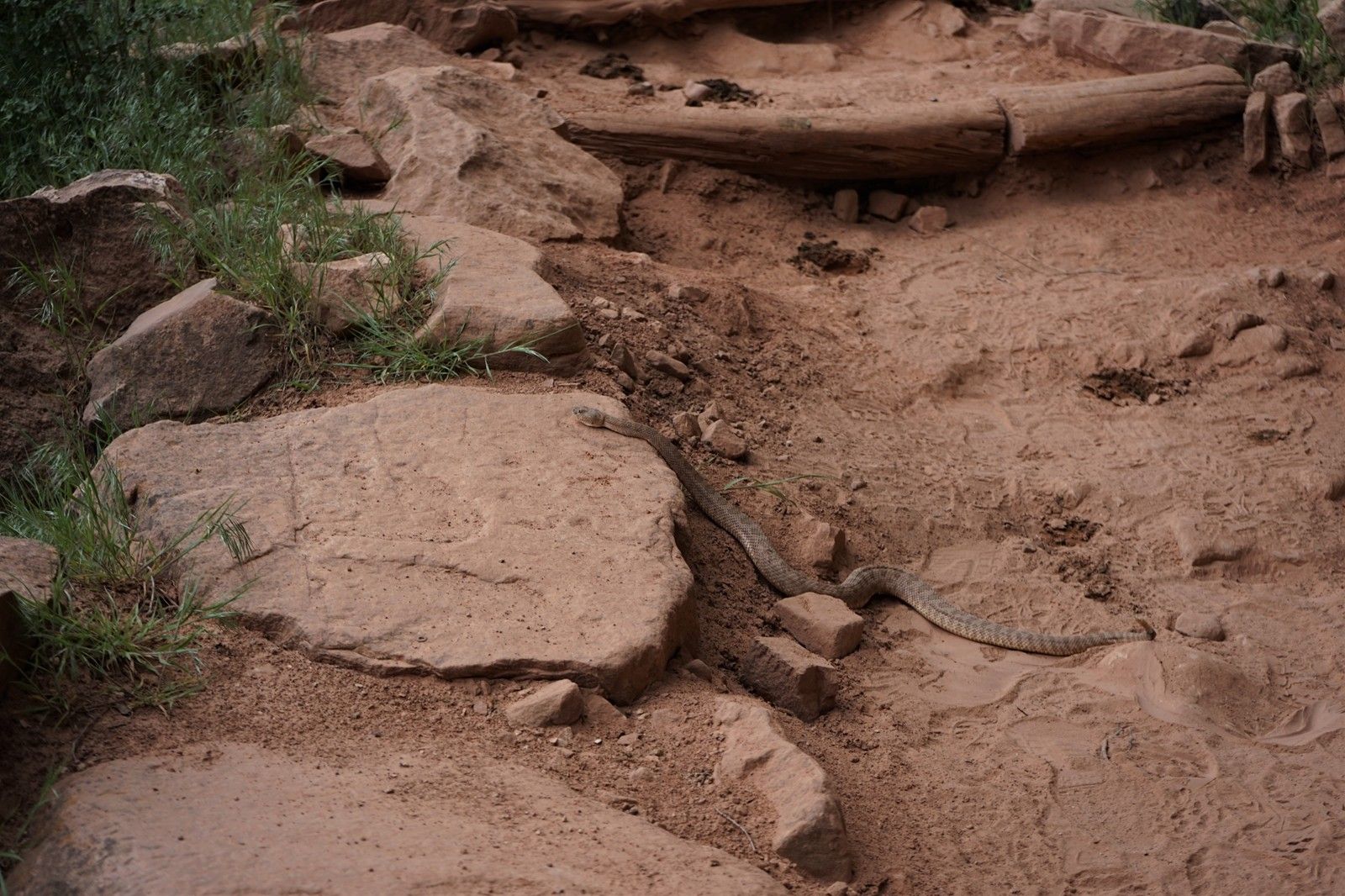
130PM,路遇響尾蛇!
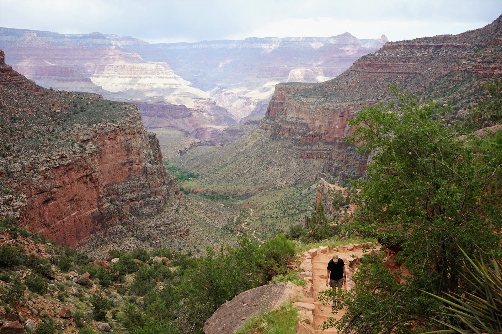
登頂前,最後瞭望一下深穀。
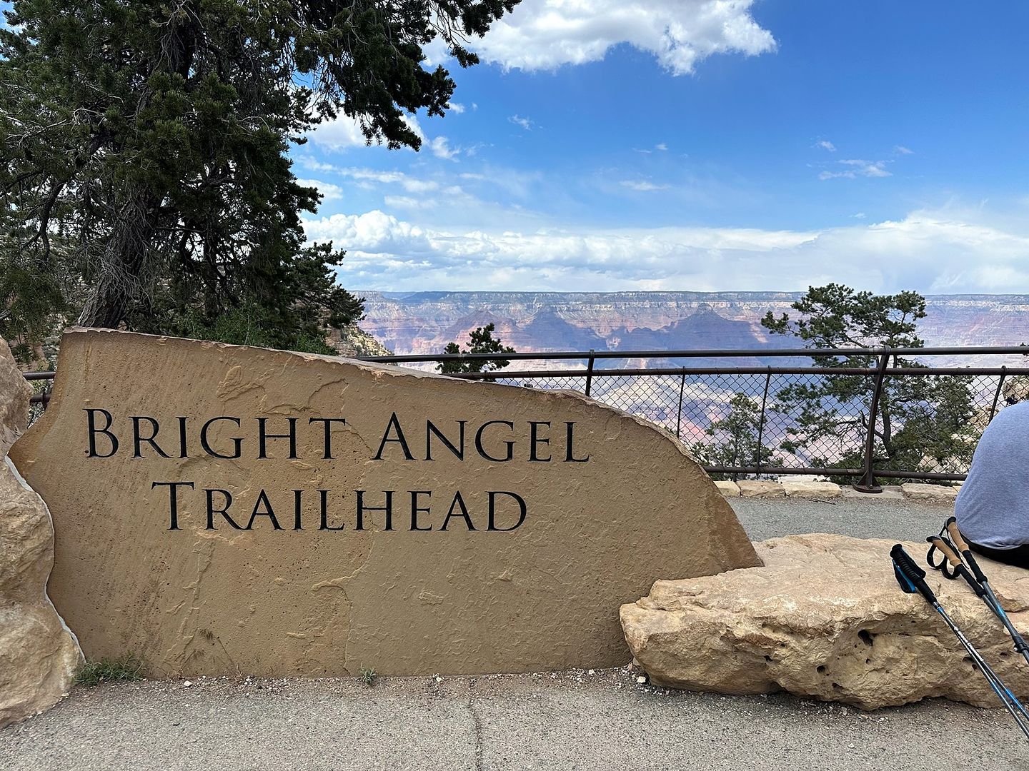
213PM,登上南緣--光明天使步道起點(Bright Angel Trailhead)。
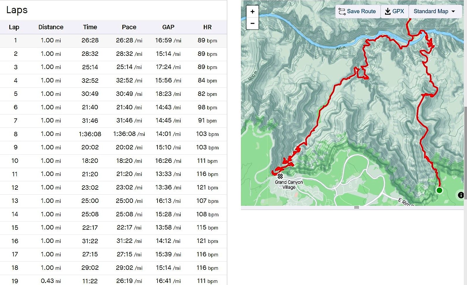
9小時,18.5英裏,海拔攀升4700英尺(1430米)。如花在下午1點登頂,班長和鳥叔在下午4點登頂,他們的行程是R2.5,50公裏。
返家途中
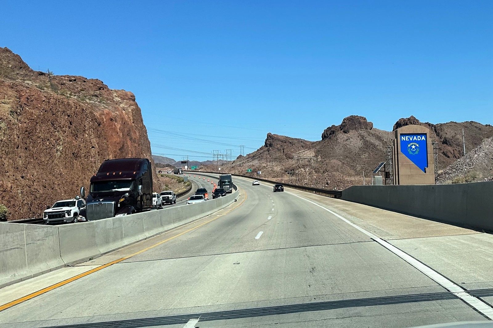
從亞利桑那州駛入內華達州。
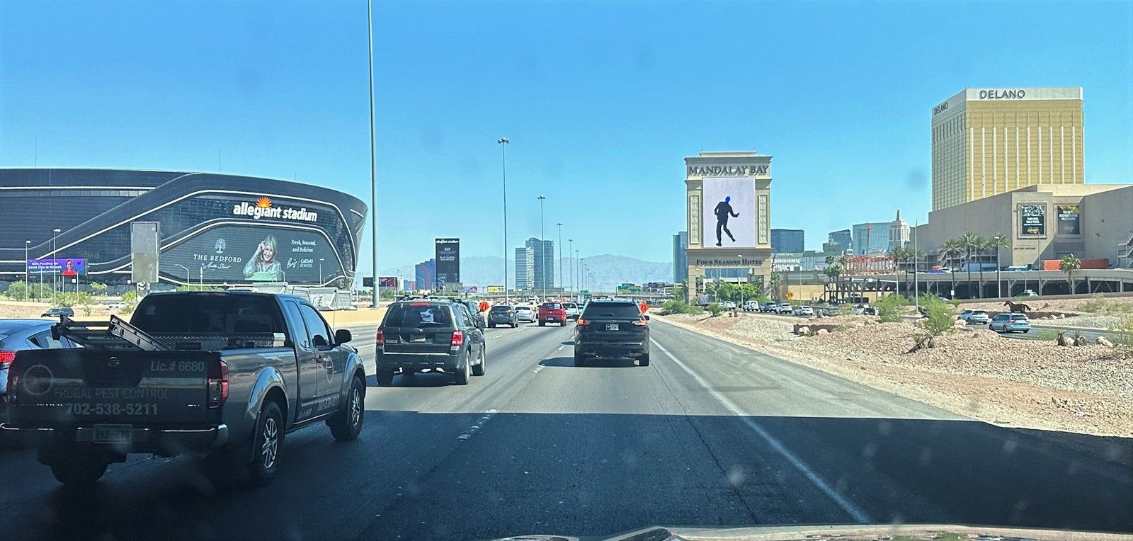
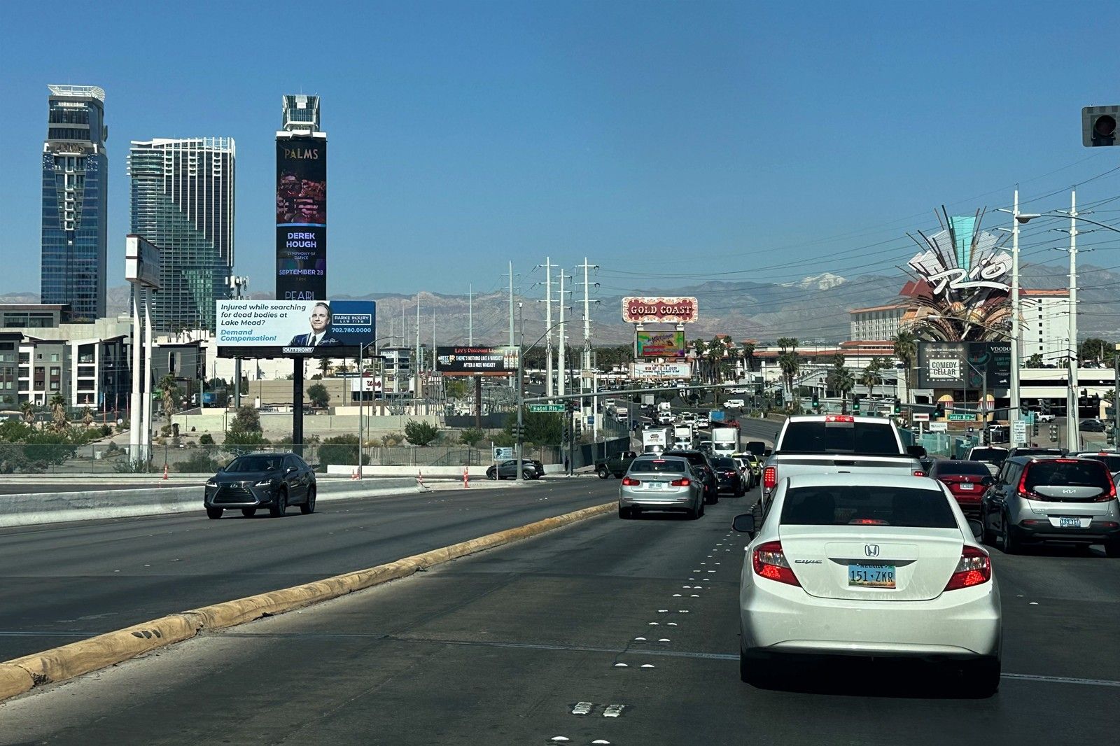
駛入賭城拉斯維加斯。

這倆人是Penn和Teller,雙人魔術師搭檔。
天際的雪山是Charleston Peak。跑馬玩家最好知曉這座山峰,因為有一個著名的下坡馬賽事--REVEL Mt Charleston Marathon。
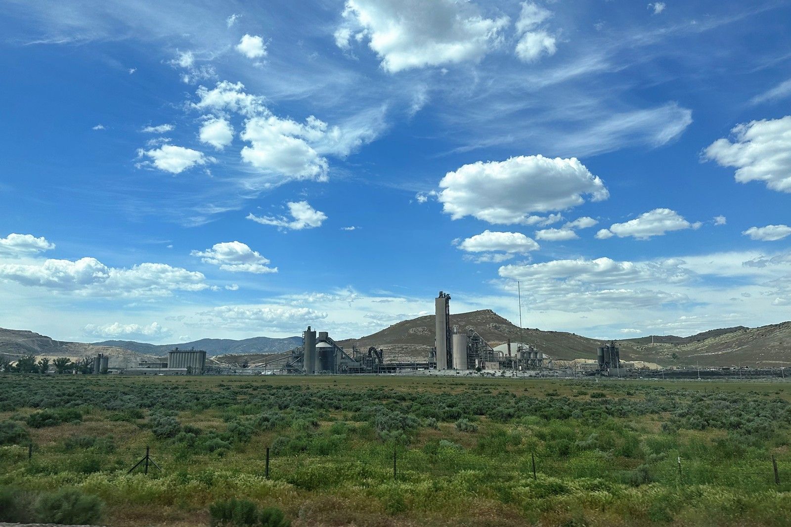
內華達州的一個水泥廠。猜的,要麽就是一家礦石廠。
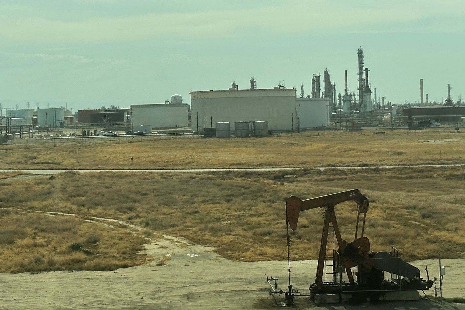
加州Bakersfield城的石油井和煉油廠。
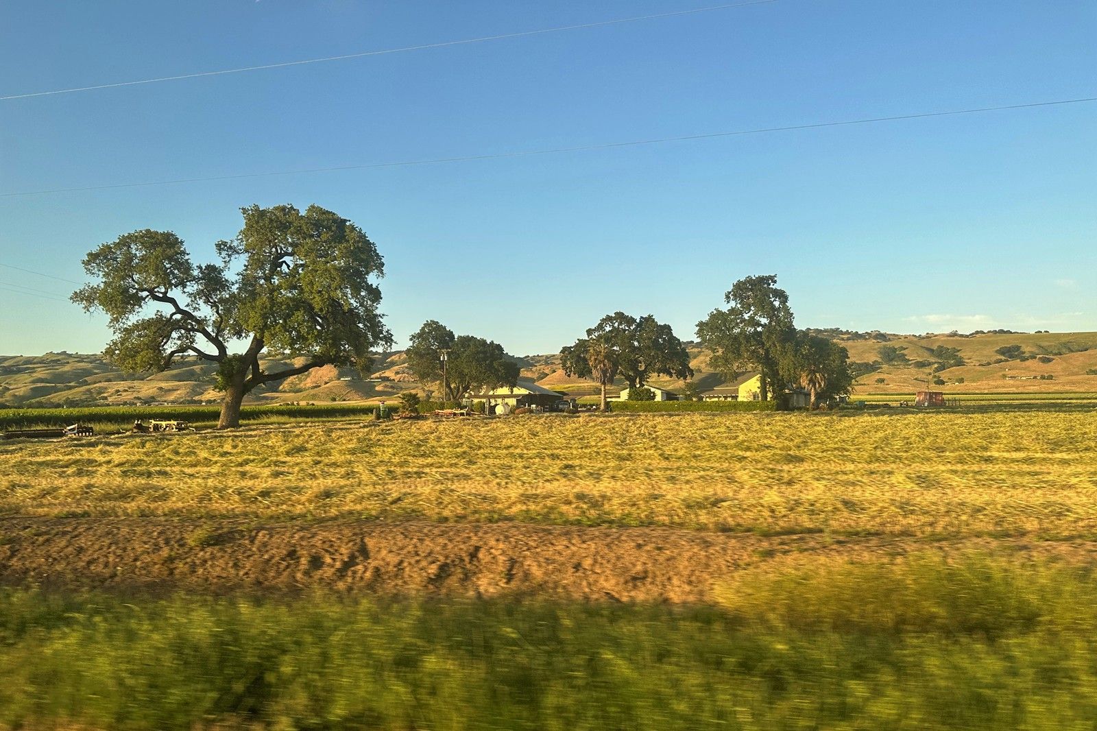
周日下午7點半,駛入灣區。俺們這嘎達其實就是一個大農村啊!
後記
目前,大峽穀穿越隻剩下兩處水源:Phantom Ranch和Indian Garden。謹慎安排自己的旅程計劃。
END |